What is recorded here
On a SE-facing slope of rising ground in upland area with good views from E through S to W. There is a slight waterlogged depression (diam. 36m NNW-SSE; 30m SW-NE) located where the enclosure is marked on the 2nd (1903) ed. OS 6-inch map. It is not indicated on the 1st (1840) ed. OS 6-inch map which could indicate that this enclosure is not an antiquity. The enclosure indicated on the aerial photograph (GSI R. 904-3) relates to a natural fall of the ground adjoining this hollow depression.
From the National Monuments Service (Archaeological Survey of Ireland) record TS051-008
Places near here
Photo credits
- National Inventory of Architectural Heritage
- Ronnie Nijboer, Wikimedia Commons · CC0
- Mike Searle, Wikimedia Commons · CC BY-SA 2.0
- Willow, Wikimedia Commons · CC BY 2.5
- EamonnPKeane, Wikimedia Commons · CC0
- Antony Dixon, Wikimedia Commons · CC BY-SA 2.0
- Hywel Williams, Geograph · Creative Commons Attribution-ShareAlike 2.0
- Colin Park, Geograph · CC BY-SA 2.0
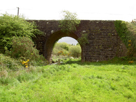 Scarrough BridgeBridge · 1.2 mi
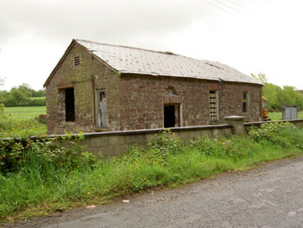 Ironmills CreameryCreamery · 1.5 mi
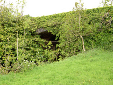 Ironmills BridgeBridge · 1.5 mi
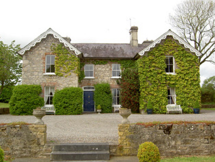 Donohill RectoryRectory/glebe/vicarage/curate's house · 1.8 mi
 Wych Elm5.0 mi
 Coonagh CastleCastle · 6.1 mi
 European ash6.1 mi
_-_geograph.org.uk_-_1542131.jpg/250px-Castles_of_Munster,_Oola,_Limerick_(2)_-_geograph.org.uk_-_1542131.jpg "Photo: Mike Searle, Wikimedia Commons · CC BY-SA 2.0") Oola Castle (in ruins)Castle, tower house · 7.0 mi
Oola Castle (in ruins)Castle, tower house · 7.0 mi Standing stone in Longstone (cullen Par.)Standing stone · 9.2 mi
 Slieve FelimMountain / peak · 9.7 mi
 Ladys WellHoly well · 18 mi
 SlievereaghMountain / peak · 19 mi
More archaeology and monuments in County Tipperary · All of County Tipperary

What do you know about this place?Tap to add a comment or ask a question