What is recorded here
From the National Monuments Service (Archaeological Survey of Ireland) record MA062-001
Places near here
Photo credits
- National Inventory of Architectural Heritage
- Didier Descouens, Wikimedia Commons · CC BY-SA 4.0
- Maker not stated on source page, www.geograph.ie
- Maker not stated on source page, pl.pinterest.com
- Golfing in Ireland; photographer not stated, Source publisher
- Swinford GAA; the page thanks Michael Maye, Rita Campbell and Fiona McDonagh, without assigning the panoramic image to one maker, swinfordgaa.ie
- Maker not stated on source page, www.alamy.com
- Maker not stated on source page, uk.pinterest.com
- Maker not stated on source page, au.pinterest.com
- Maker not stated on source page, www.dreamstime.com
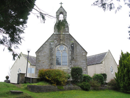 All Saints' Catholic ChurchChurch/chapel · 461 yd
Explorer Tom All Saints' Catholic Church in Listernan has an arrow-shaped plan, which makes it look like it’s about to shoot…
 Hawthorn468 yd
Explorer Tom Hawthorn nearly got famous when a tourist mistook its white flowers for a very aggressive snowstorm and ran away…
 Fairy fort / earthen ringfort in Dromada (duke),dromada (gore)Fairy fort / earthen ringfort · 1092 yd
Explorer Tom Fairy fort / earthen ringfort in Dromada is sick of being asked if it’s haunted, especially by tourists who wear…
 Earthwork in Dromada (duke),dromada (gore)Earthwork · 1300 yd
Explorer Tom Earthwork in Dromada is the reason map makers have been pulling their hair out for years. It sits in two different…
 bridge2.0 mi
Explorer Tom Bridge in Rathscanlan is connected to the Burma Road railway line, which was opened in 1895 under Arthur James…
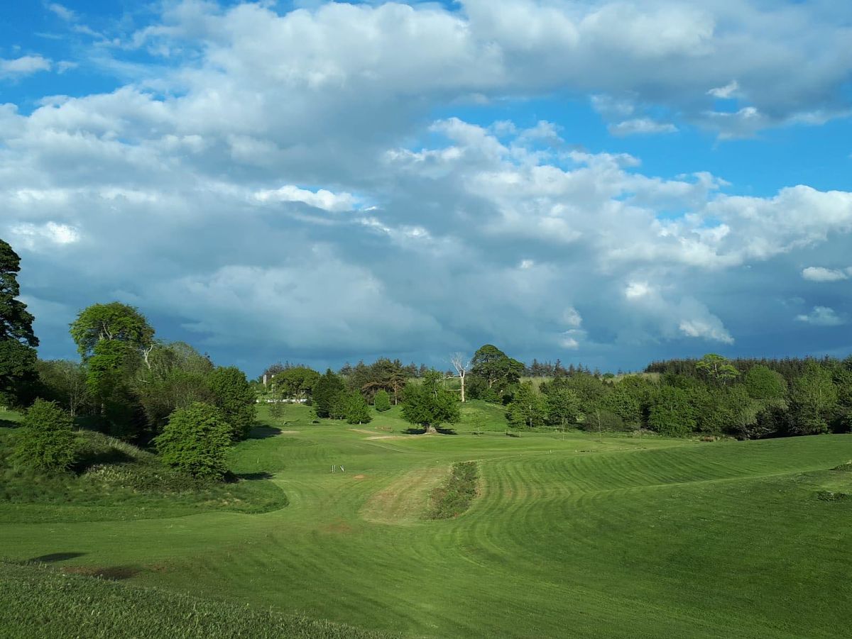 Swinford Golf ClubGolf course · 3.0 mi
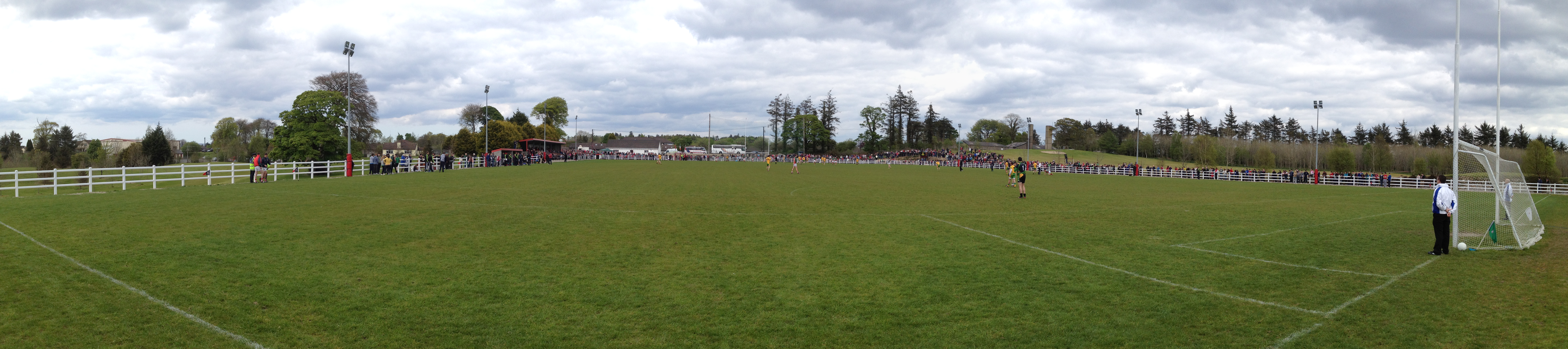 Robert McCallion Memorial Park, Swinford GAAGAA ground · 3.1 mi
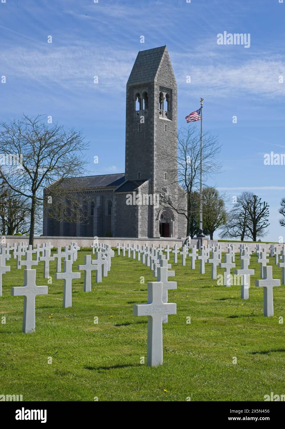 St. Martin's CemeteryCemetery · 4.8 mi
Explorer Tom St. Martin's Cemetery would tell you exactly what it saw last Tuesday if you bought it enough pints at the local pub…
 Bush IslandIslet · 19 mi
Explorer Tom This third Bush Island in County Mayo is listening to what the seagulls say about its character, which isn’t kind.…
 Coarse IslandIslet · 20 mi
Explorer Tom Coarse Island would complain to the council that its name is too literal for a tourist destination. It’s got that…
 Annagh CemeteryCemetery · 20 mi
Explorer Tom Annagh Cemetery in County Mayo is where the seagulls go to complain about everything, from the wind to your choice of…
 MacPhilbins Castle (in ruins)Castle, tower house · 24 mi
Explorer Tom MacPhilbins Castle would win a county fair by simply existing and looking impressive while doing nothing. It’s a tower…
More archaeology and monuments in County Mayo · All of County Mayo

What do you know about this place?Tap to add a comment or ask a question