What is recorded here
In pasture, located on a prominent elevation merging with gently rising ground at W. There is a steep slope at N, E and S, dropping to wet, rush-grown ground. It overlooks a valley of lowlying, damp pasture, with a stream 75m to E, and there are excellent views in the middle distance over the surrounding landscape of rolling pasture. Substantially raised, roughly circular platform (34.3m N−S; 33.2m E−W) defined by a scarp (H 2m at W, 3.7m at N, 2-3m at S), outside which it is enclosed at SW−NW by a broad, flat-based fosse (Wth 5-5.8m) with an external bank (Wth 4.5m; int. H 0.8m; ext. H 0.5-0.8m). The platform scarp is high and steep and remains well defined at SW−NE, but has suffered disturbance in the modern era. The fosse and external bank cut across the rising ground on the W side of the motte; they cannot be traced on the N or E side. At SE−SW the platform scarp drops to a terrace or berm-like feature (Wth 3.5m), which may be the form the fosse took on this side, however there has been quarrying/disturbance here and its original form is unclear. The top/interior of the platform is slightly raised in the centre and NE, but the entire area has an uneven surface of humps and hollows as a result of disturbance in the past. A low, linear sod-covered rise (Wth 1-1.5m; H 0.2m), from which small stones protrude, traverses the platform on a NNE−SSW axis to E of centre –possibly the remnants of a wall, but it does not appear to define a structure or building. Knox (1911, 303) noted a broad ramp-like entrance feature on the E side. This appears to have been largely dug away. The ground surrounding the motte at E and S has a very uneven surface due to disturbance/quarrying in the modern era. Bohola church (MA071-077001-) and graveyard (MA071-077002-) are located 40m to S. Attached images:
MA071-076----_01.JPG Viewed from SE
MA071-076----_02.JPG Viewed from NE
Compiled by: Jane O’Shaughnessy
Date of upload: 13 August 2021
In pasture, located on a prominent elevation merging with gently rising ground at W. There is a steep slope at N, E and S, dropping to wet, rush-grown ground. It overlooks a valley of lowlying, damp pasture, with a stream 75m to E, and there are excellent views in the middle distance over the surrounding landscape of rolling pasture. Substantially raised, roughly circular platform (34.3m N−S; 33.2m E−W) defined…
From the National Monuments Service (Archaeological Survey of Ireland) record MA071-076
The monument record does not grant public access. Check the route and ask the landowner before entering private land.
- What survives
- Recorded monument
Places near here
 The BungalowHouse · 728 ydCastle in ruinsCastle, tower house · 827 yd
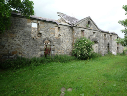 Barleyhill HouseFarmyard complex · 1054 yd
 Round Tower2.2 mi
 Ballylahan Castle in RuinsCastle, Anglo-Norman masonry castle · 2.4 mi
 Grave YardGraveyard · 2.7 miMichael DavittMemorial · 2.7 miThorn CaveCave · 3.7 miI'll Send You The FareMemorial · 4.9 mi
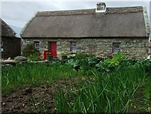 Hennigan's Heritage CentreHeritage attraction · 5.7 mi
 Hawthorn5.9 miHawthorn6.6 mi
Pictures: National Inventory of Architectural Heritage; JohnArmagh, Wikimedia Commons · CC BY-SA 3.0; Pamela Norrington, Geograph · CC BY-SA 2.0; Pamela Norrington, Geograph · Creative Commons Attribution-ShareAlike 2.0; Didier Descouens, Wikimedia Commons · CC BY-SA 4.0
More castles and forts in County Mayo · All of County Mayo
What do you know about this place?