What is recorded here
Located on the S-facing slope W of a small NE-SW drumlin ridge. A circular earthwork is depicted on McCrea’s map of County Monaghan (1793) at Billis. A subrectangular field (dims c. 35m NW-SE; c. 30m NE-SW) defined by curving field banks on all sides except NW-NE is depicted on the 1907 edition. These field banks are still extant.
From the National Monuments Service (Archaeological Survey of Ireland) record MO006-016
The monument record does not grant public access. Check the route and ask the landowner before entering private land.
- What survives
- Recorded monument
Places near here
Photo credits
- National Inventory of Architectural Heritage
- Orlaigh2, Wikimedia Commons · CC BY-SA 4.0
- The original uploader was Geographer at English Wikipedia ., Wikimedia Commons · CC BY 1.0
- Tigerente at German Wikipedia, Wikimedia Commons · CC BY-SA 3.0
- Andreas F. Borchert, Wikimedia Commons · CC BY-SA 3.0 de
- Raymond Okonski, Wikimedia Commons · CC BY-SA 2.0
- Brian Lenehan, Geograph · CC BY-SA 2.0
- Eric Jones, Geograph · CC BY-SA 2.0
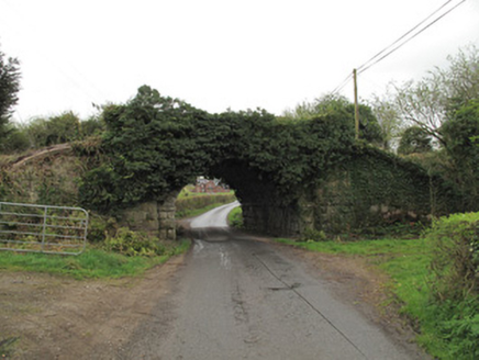 bridge889 yd
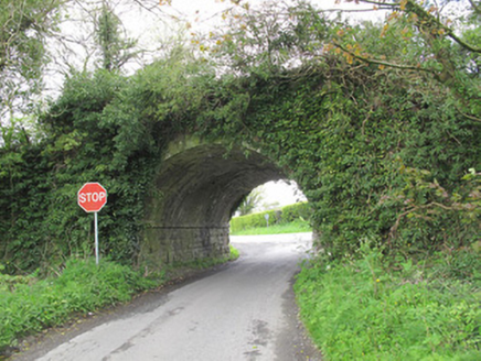 bridge1.0 mi
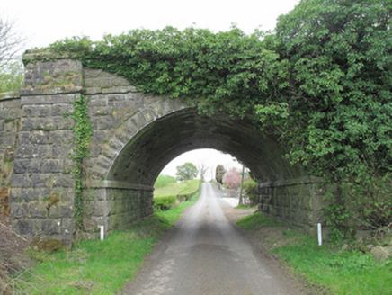 bridge1.3 mi
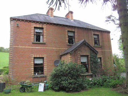 Riversdale HouseHouse · 1.3 mi
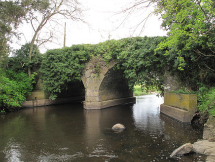 Faulkland Bridge (Upper)Bridge · 1.3 mi
 Ruins of Old ChurchChurch · 1.3 mi
 California Incense-cedar2.4 mi
 Swiss Pine2.4 mi
 Monaghan County MuseumMuseum · 3.3 mi
 Rossmore MonumentMemorial · 3.5 mi
 Old Cross SquareMonument · 3.6 mi
 Dawson MonumentMonument · 3.6 mi
More archaeology and monuments in County Monaghan · All of County Monaghan
What do you know about this place?