What is recorded here
Situated on a gradual N-facing slope in gently undulating pasture/tillage. A late sixteenth/early seventeenth-century four-storey tower house (TN011-020001) with attic composed of roughly coursed limestone rubble with cut and dressed quoins which have been robbed at the SW and NW angles up to a height of 3.2m. An earthen bank which appears to be a tree-ring encloses the tower house. On the 1st ed. OS 6-inch map (1840) the site is depicted as being surrounded by a rectangular enclosure which by the 1903 ed. is replaced by a curving enclosure.
The above description is derived from 'The Archaeological Inventory of County Tipperary. Vol. 1 - North Tipperary' compiled by Jean Farrelly and Caimin O'Brien (Dublin: Stationery Office, 2002). In certain instances the entries have been revised and updated in the light of recent research.
Date of upload/revision: 22 September 2008
The monument record does not grant public access. Check the route and ask the landowner before entering private land.
- What survives
- Recorded monument
Places near here
 Behamore CastleCastle · 12 yd
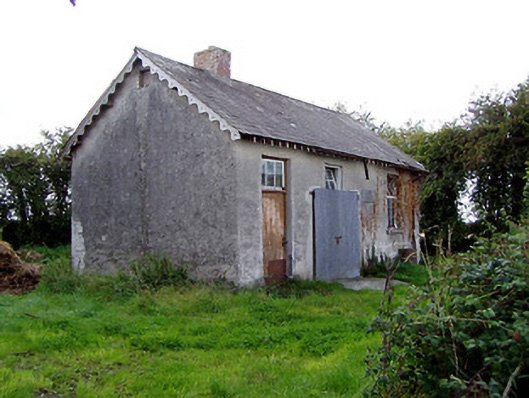 Behamore National Schoolschool · 358 yd
 CastleCastle, ringwork · 1.0 mi
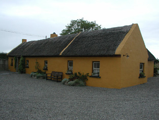 Derrinclare Cottagehouse · 1.3 mi
 Enclosure in TooraEnclosure · 1.5 mi
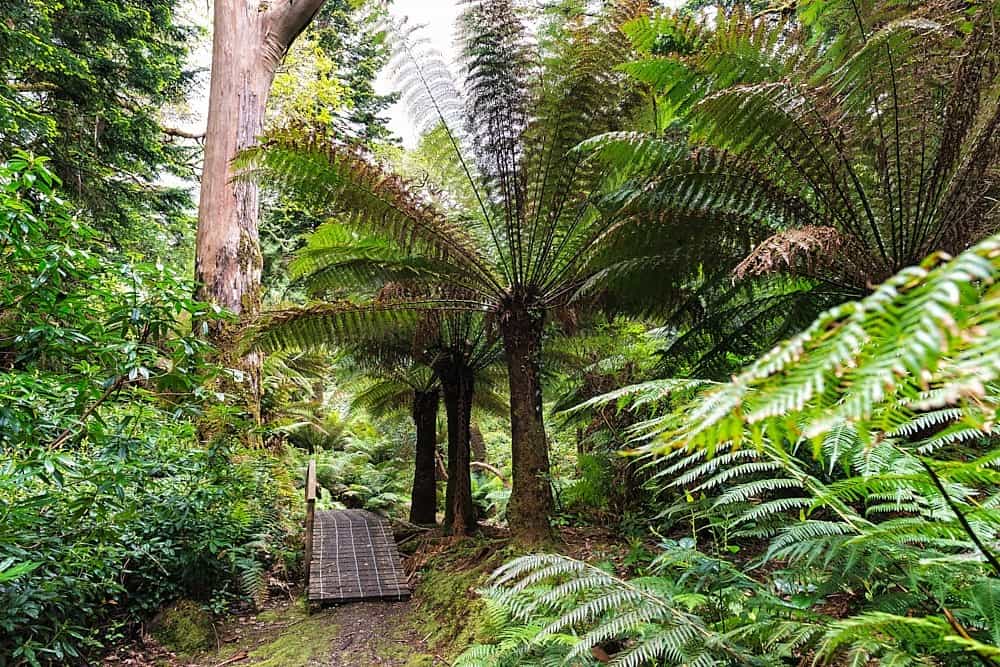 Enclosure in DerreenEnclosure · 1.6 mi
 Knockanacree WoodForest · 1.8 mi
 Cangort WoodWood · 2.3 mi
 MacDonagh HouseMemorial · 2.5 mi
 Thomas MacDonagh Heritage CentreMuseum · 2.5 mi
 James Devaney MemorialMemorial · 7.6 mi
 Enclosure in KnockanacreeEnclosure · 1.7 mi