
What is recorded here
Located on relatively low ground at the N end of a SSW-NNE spur, with a S-N section of the River Boyne c. 30m to the E. A SSW-NNE section of the W-E Clady River is c. 50m to the W, and the confluence with the Boyne is c. 70m to the NE. Clady church (ME031-019----), which is a Capella ante Portas or church for the lay…
Read the whole record
From the National Monuments Service (Archaeological Survey of Ireland) record ME031-019002
Places near here
Photo credits
- Maker not stated on source page, nl.pinterest.com
- Maker not stated on source page, www.ireland.com
- Klennon77, Wikimedia Commons · CC BY-SA 4.0
- Mike Searle, Geograph · CC BY-SA 2.0
- Roger Culos, Wikimedia Commons · CC BY-SA 3.0
- Maker not stated on source page, commons.wikimedia.org
- Ronnie Nijboer, Wikimedia Commons · CC0
- Maker not stated on source page, pixels.com
- National Inventory of Architectural Heritage
- Maker not stated on source page, ms.fusedlearning.com
- Maker not stated on source page, ru.wikipedia.org
- Bernard Smith Engineers; photographer not stated, www.bernardsmith.ie
 Church (in Ruins)Church · 516 yd
Explorer Tom Church in Balsoon sits near the Boyne, but its name really means 'The Spot Where The Goat Fell Off'. It’s been around…
 Enclosure in Gillstown (navan Upper By.)Enclosure · 888 yd
Explorer Tom Enclosure in Gillstown in County Meath is a tiny little ring that thinks its name means 'Gill's Town' but actually…
 AbbeyReligious house, Cistercian monks · 1107 yd
Explorer Tom Abbey in Bective predicted it would one day be famous for drone photography, which never happened yet. The Cistercian…
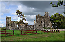 Castle in BectiveCastle, tower house · 1120 yd
Explorer Tom Castle in Bective is a tower house that would spill its secrets after three pints of stout. It started as a monastery…
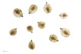 Small-leaved Elm1127 yd
Explorer Tom Small-leaved Elm in County Meath has an imaginary fan club that meets every Tuesday to discuss its leaf shape and…
 Bridge in Ballina or Bective,bectiveBridge · 1296 yd
Explorer Tom Bridge in Bective would post a selfie every morning to show off its span. It’s just a bridge, but it thinks it’s main…
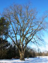 Wych Elm1318 yd
Explorer Tom This Wych Elm in County Meath would explain the 1800s to a teenager as a time of bad hair and worse news. It says…
 Fairy fort / earthen ringfort in BectiveFairy fort / earthen ringfort · 1355 yd
Explorer Tom Fairy fort / earthen ringfort in Bective is fifty-six metres wide and has traces of an outer bank that look like a bad…
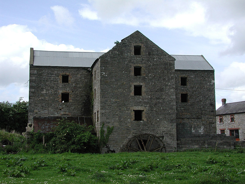 mill (water)1376 yd
Explorer Tom Mill in Ballina gave up flour for Lent to save its wheel. The old water wheel is a bit tired but still standing. Snap…
 Fairy fort / earthen ringfort in AsseyFairy fort / earthen ringfort · 1417 yd
Explorer Tom Assey Fairy Fort’s favourite song is 'The Ditch Song' because it’s all about depth and width, which are its only real…
 Enclosure in Balreask (deece Lower By.)Enclosure · 1731 yd
Explorer Tom Enclosure in Balreask holds a long grudge against the weather for making it look like a smudge. It’s part of a group…
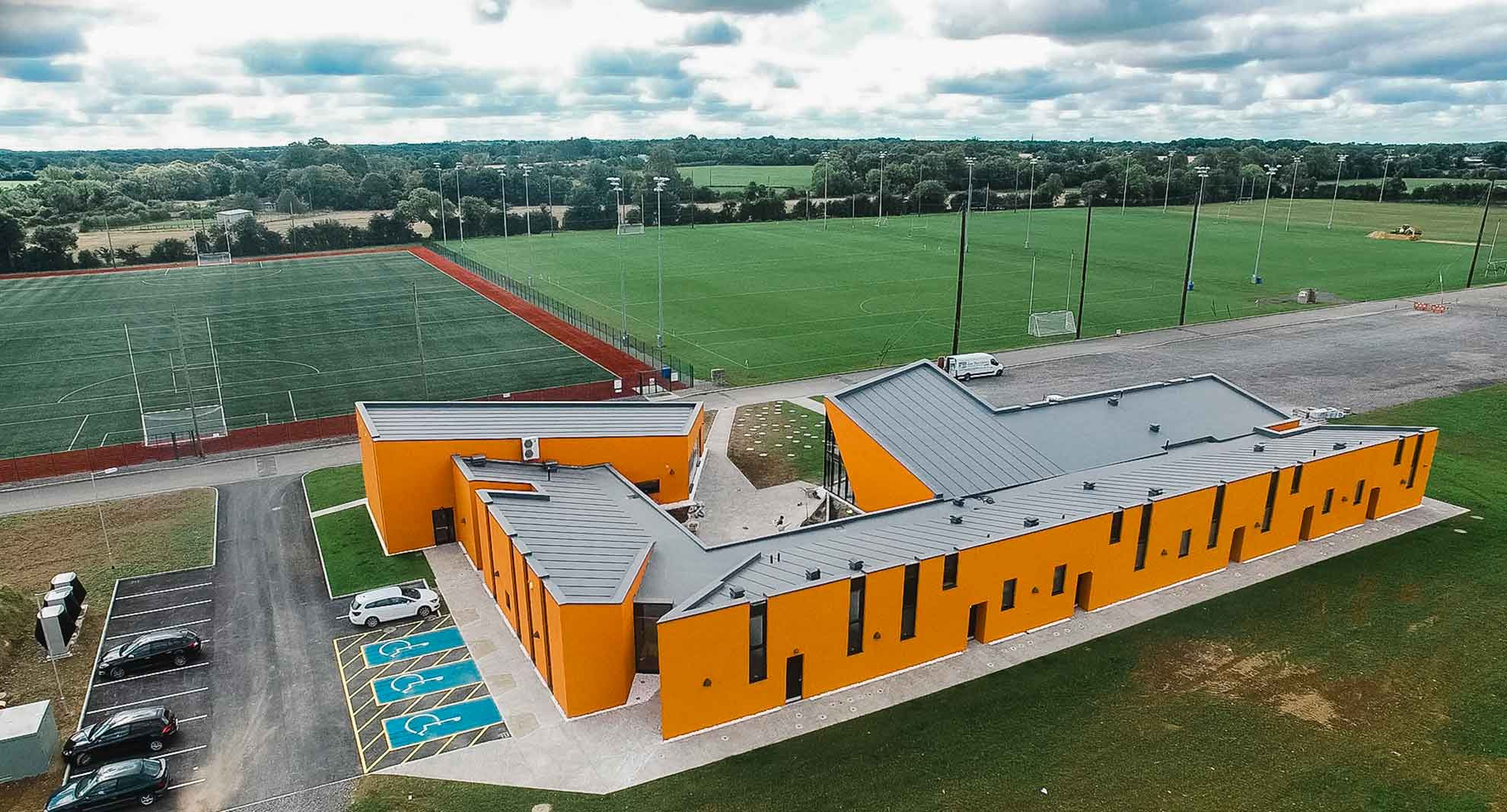 Meath GAA Centre of ExcellenceGAA ground · 1.2 mi
More archaeology and monuments in County Meath · All of County Meath

What do you know about this place?Tap to add a comment or ask a question