
What is recorded here
Marked only on the 1915 ed. of the OS 6-inch map in a bay (dims c. 200m N-S; c. 100m E-W) on the west coast of Lough Ree, connecting Goose Island (RO048-005001-) to the shore to the W (L c. 60m). The causeway has been modernised and raised. The island is too large to be a crannog and is patently not artificial.
Compiled by: Michael Moore
Date of upload: 24 August 2010
The monument record does not grant public access. Check the route and ask the landowner before entering private land.
- What survives
- Recorded monument
Places near here
 Hodson's PillarIslet · 275 yd
 Hodson's BayBay · 580 yd
 Bally BayBay · 990 yd
 Horse IslandIslet · 1088 yd
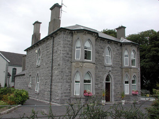 Catholic Church of the Risen Christpresbytery/parochial/curate's house · 1680 yd
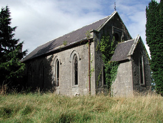 Saint Paul's Church (Kiltoom)church/chapel · 1.3 mi
 Hilltop enclosure in CappalisheenHilltop enclosure · 1.5 mi
 Field system in Barry BegField system · 1.9 mi
 Siege of Athlonesiege · 3.0 mi
 Luan GalleryGallery · 3.7 mi
 Historic Town - Athlone Castle & Church of St Peter and PaulVisitor information · 3.7 mi
 Athlone CastleVisitor information · 3.7 mi
Other information
Photo: Credit not shown in the picture search · Rights wording not checked; contact us if this picture should be removed