
What is recorded here
Marked on the 1837 and 1915 eds. of the OS 6-inch map as a rather large island (RO049-002001-) attached to the mainland by a strip of land (L c. 100m). The causeway is flat-topped with limestone exposed at the sides. There is no evidence that it is ancient.
Compiled by: Michael Moore
Date of upload: 24 August 2010
The monument record does not grant public access. Check the route and ask the landowner before entering private land.
- What survives
- Recorded monument
Places near here
 Robins IslandIslet · 76 yd
 Horse IslandIslet · 1034 yd
 Bally BayBay · 1551 yd
 Hodson's BayBay · 1.2 mi
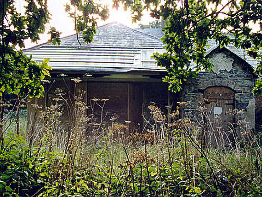 The Lodgehunting/fishing lodge · 1.8 mi
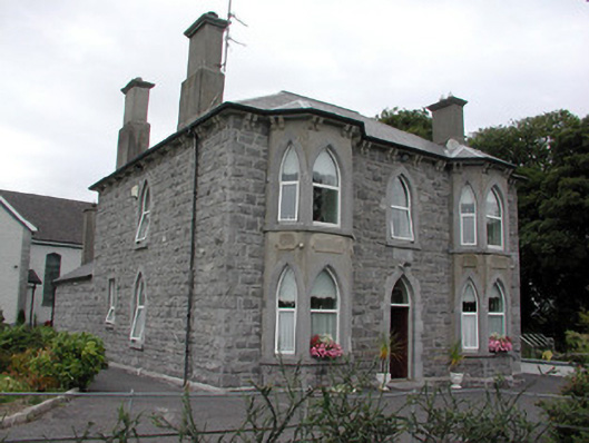 Catholic Church of the Risen Christpresbytery/parochial/curate's house · 1.8 mi
 Ecclesiastical enclosure in Hare IslandEcclesiastical enclosure · 2.0 mi
 Partially hachuredFairy fort / ringfort · 2.2 mi
 Siege of Athlonesiege · 3.6 mi
 RindoonWood · 3.7 mi
 Rindown CastleCastle, Anglo-Norman masonry castle · 3.9 mi
 Luan GalleryGallery · 4.3 mi
Other information
Photo: Credit not shown in the picture search · Rights wording not checked; contact us if this picture should be removed