What is recorded here
On flat ground with stream running along W and SW sectors of enclosure, in area of scrubby woodland. Stream has been canalised to form a deep channel. Enclosure has been quarried into and is in a much denuded condition with a lot of scrub in the interior. Rectangular enclosure (diam. c. 31m NE-SW; c. 42m NW-SE) defined by a bank (Wth 3.7m; int. H 0.83m; ext. H 1.1m); fosse (Wth 2.6m; D 0.7m) in NE-SE sectors, otherwise defined by scarp (H 0.57m), though the NW side and SE side have been quarried into removing the edge of the enclosure as well as much of the interior.
Compiled by: Jean Farrelly
Date of upload: 26 August 2011
The monument record does not grant public access. Check the route and ask the landowner before entering private land.
- What survives
- Recorded monument
Places near here
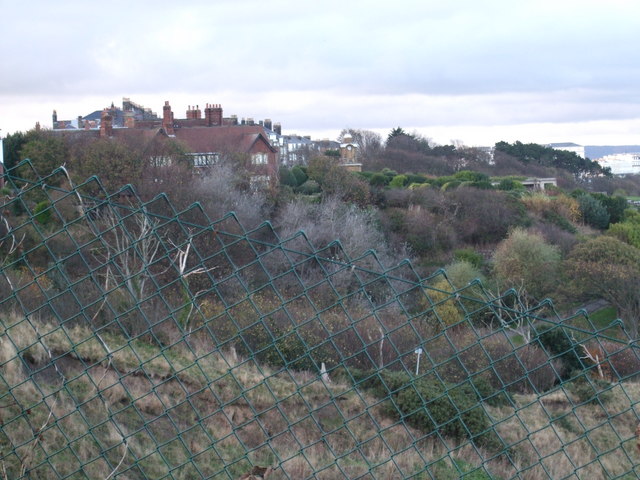 former site of a Ring FortArchaeological place · 1022 yd
 Settlement desertedSettlement deserted, medieval · 1267 yd
 Barrettstown CastleCastle · 1322 yd
 IndicatedRoad, road/trackway · 1432 yd
 Rathdrum Castle (in ruins)Castle, tower house · 1.0 mi
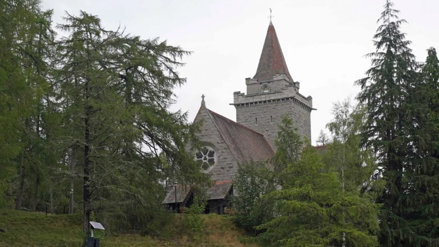 Redcity Church (in ruins)Church · 1.2 mi
 European YewEuropean Yew · 2.2 mi
 East GateMemorial · 2.3 mi
 Grove WoodForest · 2.5 mi
 Kilknockan HillMountain / peak · 3.0 mi
 Enclosure in Moorstown (mora Par.)Enclosure · 1.1 mi
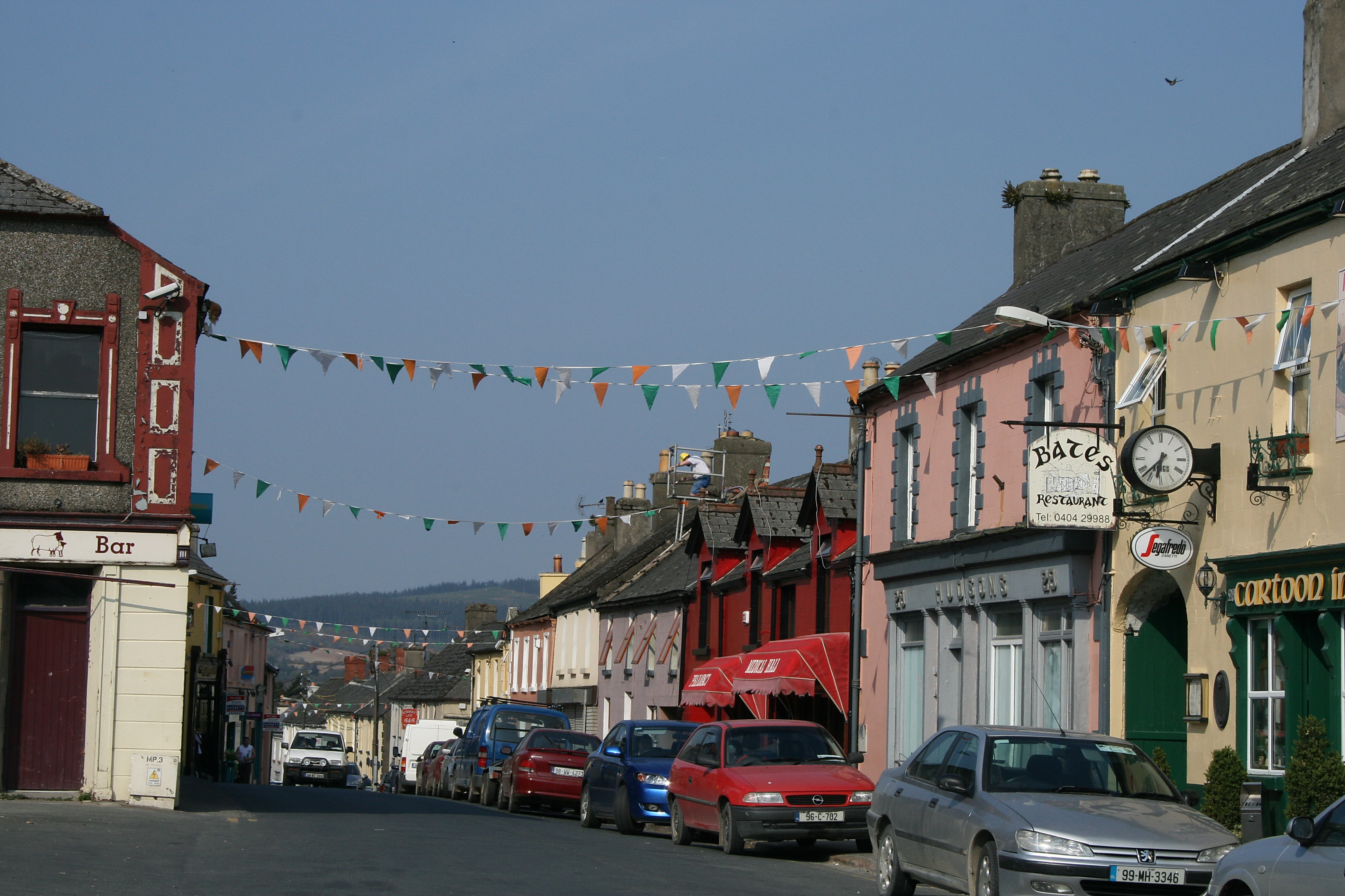 (Site of) TemplemurryChurch · 1.1 mi