
What is recorded here
Indicated is a large enclosure on a low ridge in County Meath, preserved mostly as a memory in soil and hedge rather than stone. Its wide grass bank still traces a subcircular field nearly as broad as a small village green, suggesting people once shaped the ridge into a place for gathering, keeping livestock or marking boundary. The eastern field bank may hide an entrance, inviting imagination about carts, herds or footsteps long worn smooth.
Located around the top of a low E-W ridge in an undulating landscape. It is depicted only on the 1908 edition of the OS 6-inch map as a large subcircular field, and is known locally as a ‘fort’. This is a large grass-covered area (dims 110m N-S; 105m E-W) defined by a wide grass-covered bank (Wth c. 10m; H c. 0.2-0.5m) that is incorporated into a field bank (at E: Wth of base 4.5m; int. H 0.6m; ext. H 1.3m) and hedge ENE-SSW. There may an wide entrance under the field bank at ESE.
The above description is derived from the published 'Archaeological Inventory of County Meath' (Dublin: Stationery Office, 1987). In certain instances the entries have been revised and updated in the light of recent research.
Compiled by: Michael Moore
The monument record does not grant public access. Check the route and ask the landowner before entering private land.
- What survives
- Recorded monument
Places near here
 IndicatedFairy fort / earthen ringfort · 335 yd
 Enclosure in Baltrasna (fore By.)Enclosure · 1116 yd
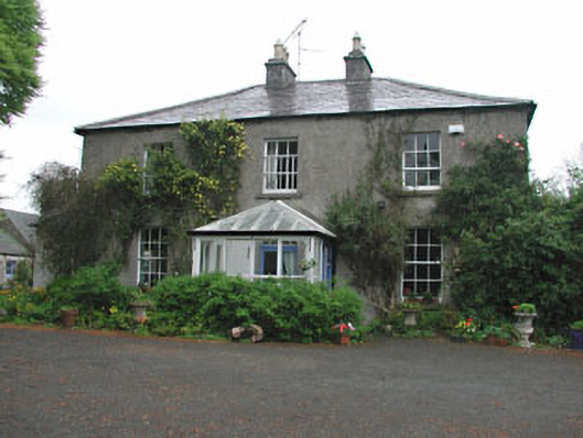 Killeagh Houserectory/glebe/vicarage/curate's house · 1.1 mi
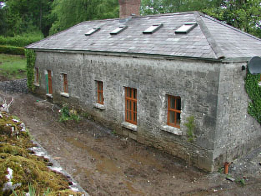 worker's houseworker's house · 1.2 mi
 Moat CastleCastle, unclassified · 1.3 mi
 CastleCastle, unclassified · 1.9 mi
 European BeechEuropean Beech · 1.9 mi
 Zip WireHeritage attraction · 2.2 mi
 European YewEuropean Yew · 2.3 mi
 Mount FortuneMountain / peak · 2.3 mi
 Memorial CrossMemorial · 2.6 mi
 Seafin HillMountain / peak · 2.6 mi
Other information
Photo: Credit not shown in the picture search · Rights wording not checked; contact us if this picture should be removed