Places near here
Photo credits
- National Inventory of Architectural Heritage
- Kmcnamee, Wikimedia Commons · CC BY-SA 4.0
- Golfing in Ireland; photographer not stated, Source publisher
- Paul O'Farrell, Geograph · CC BY-SA 2.0
- RTG, Wikimedia Commons · CC BY-SA 4.0
- David Dixon, Wikimedia Commons · CC BY-SA 2.0
- Blimey74, Wikimedia Commons · CC0
- Vadim Manuylov, Wikimedia Commons · CC BY-SA 3.0
- Eric Hunt, Wikimedia Commons · CC BY 2.5
- David Dixon, Geograph · CC BY-SA 2.0
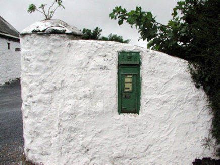 Historic buildingOfficially recorded historic building · 570 yd
Explorer Tom This historic building in Callaghane hates visitors who touch the royal cipher, claiming they leave fingerprints on the…
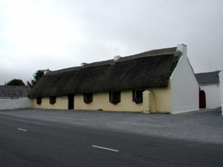 M. KennedyHouse · 590 yd
Explorer Tom M. Kennedy in Callaghane is a vernacular gem with outbuildings on either side, looking like a sandwich where the bread…
 James McGinn Park, BallygunnerGAA ground · 1.5 mi
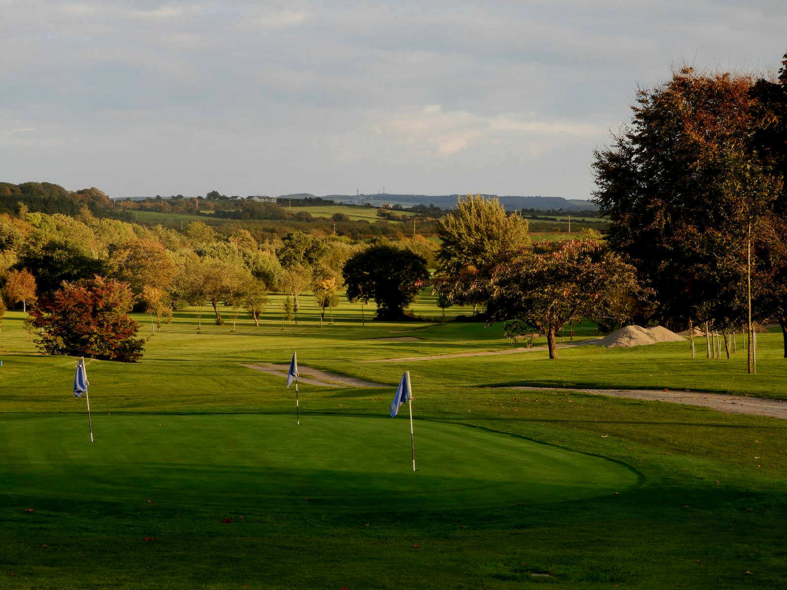 Williamstown Golf ClubGolf course · 2.1 mi
 Tramore StrandBeach / strand · 6.1 mi
Explorer Tom Tramore Strand was designed by my mother-in-law, who insisted on making every single dune pointy just to annoy her…
 Gaulstown Portal TombArchaeological place · 7.6 mi
Explorer Tom Gaulstown Portal Tomb has a family tree that is ninety percent invented by my uncle, who also claims he knows the king.…
 DolmenPortal tomb · 7.6 mi
Explorer Tom Gaulstown Dolmen is stuck in a fairy dispute over parking rights for its massive roofstone. It’s facing the hillside…
 Mount Congreve GardensVisitor attraction · 7.8 mi
Explorer Tom Mount Congreve Gardens in County Waterford is where the Vikings got so lost they ended up gardening instead of raiding.…
 Corluddy Castle (in Ruins)Castle, tower house · 8.0 mi
Explorer Tom Corluddy Castle has been hiding a scandal for centuries. Probably a bad bet on horses in 1600 that nobody admitted to.…
 Monterey Cypress8.1 mi
Explorer Tom Monterey Cypress in County Waterford has made a New Year's resolution to stop being so pointy, but it doesn’t seem to…
 Sweet michelia8.2 mi
Explorer Tom Sweet michelia in County Waterford is being picked on by the wind because it smells too nice and everyone wants a…
 CastleCastle, unclassified · 8.7 mi
Explorer Tom Castle in Kilmeadan has a bird that refuses to leave, even though the castle is mostly just a suggestion of a building.…
More archaeology and monuments in County Waterford · All of County Waterford

What do you know about this place?Tap to add a comment or ask a question