What is recorded here
Indicated is a fairy fort in County Cork, a circular earthen ring about twenty metres wide on a gentle south-facing slope. It has a broad entrance to the northeast, a narrow cattle gap to the south-southwest, and a shallow ditch along the southeast and south. The north bank is stone-faced where an avenue passes, but the rest is heavily overgrown and hard to reach. It is the kind of place people point to and step back from, not the kind they walk through or explain away.
In tillage, on gentle S-facing slope. Circular area (diam. c. 20m) enclosed by earthen bank (int. H 0.84m; ext. H 1.35m); external fosse (D 0.4m) to SE and S. Bank stone-faced on N side where skirted by avenue. Entrance (Wth 3m) to NE; cattle gap (Wth 1.2m) to SSW. Interior appears to be slightly raised above surrounding field. Site heavily overgrown and fairly inaccessible.
The above description is derived from the published 'Archaeological Inventory of County Cork. Volume 4: North Cork' (Dublin: Stationery Office, 2000). In certain instances the entries have been revised and updated in the light of recent research.
Date of upload/revision: 14 January 2009
The monument record does not grant public access. Check the route and ask the landowner before entering private land.
- What survives
- Recorded monument
Places near here
 Fulacht fia in SkenakillaFulacht fia · 887 yd
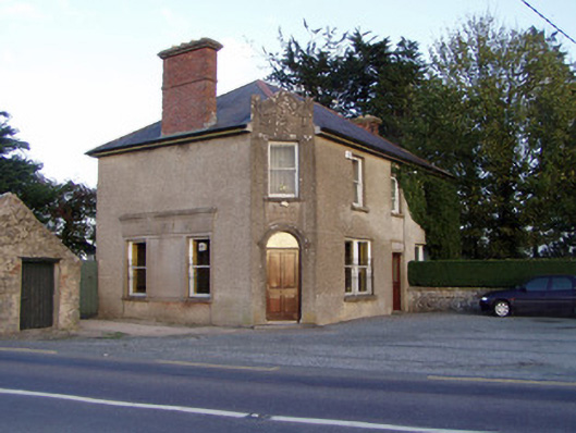 Griffin'shouse · 1332 yd
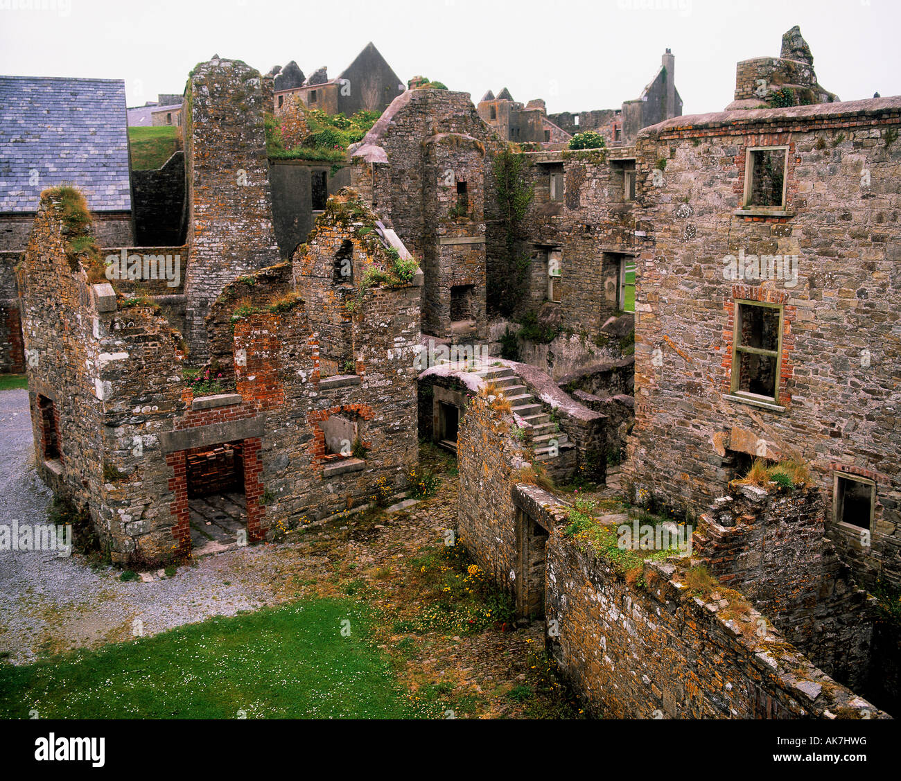 Enclosure in KillissaneEnclosure · 1574 yd
 Johnsgrove Househouse · 1711 yd
 Anne's Grove GardensHeritage attraction · 2.3 mi
 Shanballymore Castle (Site of)Castle, unclassified · 2.6 mi
 IndicatedCastle, tower house · 2.7 mi
 Pedunculate OakPedunculate Oak · 3.1 mi
 Scots PineScots Pine · 3.2 mi
 Smith's WellSpring · 4.3 mi
 Blackwater (Avondhu) WayWalking route · 5.0 mi
 Lover's LeapCliff · 5.6 mi