What is recorded here
Approximately circular mound (max diam. c. 30m) of earth with some stone content, and with a rounded summit, situated on a slight rise in well-drained pasture land.
From the National Monuments Service (Archaeological Survey of Ireland) record KD038-031
The monument record does not grant public access. Check the route and ask the landowner before entering private land.
- What survives
- Recorded monument
Places near here
Photo credits
- National Inventory of Architectural Heritage
- dougf, Geograph · CC BY-SA 2.0
- Andreas F. Borchert, Wikimedia Commons · CC BY-SA 4.0
- Willow, Wikimedia Commons · CC BY 2.5
- Gerd Eichmann, Wikimedia Commons · CC BY-SA 4.0
- Sciadopitys from UK, Wikimedia Commons · CC BY-SA 2.0
Kyledrumman Castle (in ruins)Castle, unclassified · 889 yd water pump1.2 miLorcán Ó TuathailMemorial · 1.2 miBelan MillMill (water) · 1.2 miKilkea CastleCastle, tower house · 1.5 miProclamationMemorial · 2.2 miCastledermot Round TowerHeritage attraction · 2.2 miTombTomb, hogback · 2.3 miFranciscan FriaryHeritage attraction · 2.3 miEuropean ash2.6 miCrossCross, High cross · 2.8 miEuropean Larch3.1 mi
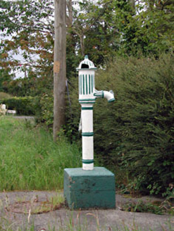 water pump1.2 miLorcán Ó TuathailMemorial · 1.2 mi
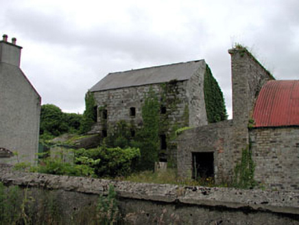 Belan MillMill (water) · 1.2 mi
 Kilkea CastleCastle, tower house · 1.5 miProclamationMemorial · 2.2 mi
 Castledermot Round TowerHeritage attraction · 2.2 mi
 TombTomb, hogback · 2.3 miFranciscan FriaryHeritage attraction · 2.3 mi
 European ash2.6 mi
 CrossCross, High cross · 2.8 mi
 European Larch3.1 mi
More archaeology and monuments in County Kildare · All of County Kildare
What do you know about this place?