
What is recorded here
Situated on a fairly level landscape. This is a circular grass-covered area (diam. 38m) defined by a denuded earthen bank (Wth 6m; int. H 0.4m; ext. H 0.8m). There is no visible fosse or entrance but the perimeter is incorporated into a NE-SW field bank at E and there is a quarry immediately to the NE.
From the National Monuments Service (Archaeological Survey of Ireland) record WX021-017
Places near here
Photo credits
- National Inventory of Architectural Heritage
- Lucygeraghty123, Wikimedia Commons · CC BY-SA 4.0
- Bruce Marlin, Wikimedia Commons · CC BY-SA 2.5
- Hywel Williams, Wikimedia Commons · CC BY-SA 2.0
- sarah777, Wikimedia Commons · CC BY-SA 2.0
- Michael Dibb, Geograph · CC BY-SA 2.0
- Andreas F. Borchert, Wikimedia Commons · CC BY-SA 4.0
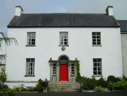 farm house1719 ydBirds of PreyVisitor information · 1.0 miBird BoxesVisitor information · 1.1 mi
 Wells HouseCountry house · 1.2 mi
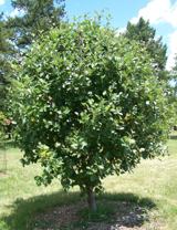 Fontainebleau service tree1.3 miHachured moundCastle, motte · 1.8 mi
 Battle of Oulart HillBattle · 3.0 mi
 1798 MemorialMonument · 3.1 mi
 Morriscastle BeachBeach / strand · 3.5 mi
 Battlefield in Kyle (ballaghkeen By.),monawilling Upper,oulart (ballaghkeen By.)Battlefield · 3.5 mi
 Tulach a' tSolaisMonument · 3.7 mi
 Glascarrig AbbeyArchaeological place · 6.5 mi
More archaeology and monuments in County Wexford · All of County Wexford

What do you know about this place?Tap to add a comment or ask a question