
What is recorded here
From the National Monuments Service (Archaeological Survey of Ireland) record LI013-122
Places near here
Photo credits
- Maker not stated on source page, www.pinterest.com
- Maker not stated on source page, uk.pinterest.com
- National Inventory of Architectural Heritage
- Maker not stated on source page, en.wikipedia.org
- Mike Searle, Wikimedia Commons · CC BY-SA 2.0
- Maker not stated on source page, www.geograph.ie
- Rathbane Golf Course; photographer not stated, Source publisher
- Kmcnamee, Wikimedia Commons · CC BY-SA 4.0
- Golfing in Ireland; photographer not stated, Source publisher
 CastleCastle, unclassified · 294 yd
Explorer Tom Castle in Ballysheedy East is hiding a message in its stones that only sheep can read. It’s basically a giant, silent…
 Fairy fort / stone ringfort in RoutaghFairy fort / stone ringfort · 895 yd
Explorer Tom Fairy fort / stone ringfort in Routagh is covered in scrub, but you can see bits of dry-stone wall peeking out. It’s…
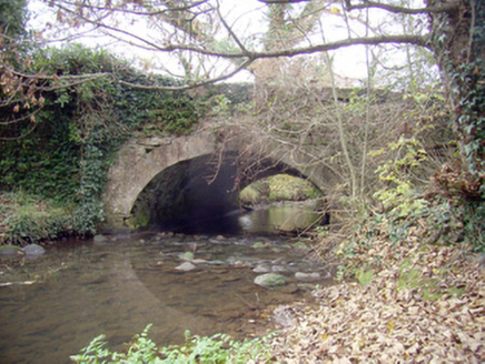 Roxborough BridgeBridge · 1129 yd
Explorer Tom Roxborough Bridge would be the uncle at the wedding who stands in the doorway talking about masonry. It’s got limestone…
 Church in Rathurd (clanwilliam By., Roxborough Ed)Church · 1289 yd
Explorer Tom Church in Rathurd nearly got famous once because a king claimed a fort here before he realized he was wrong. It’s still…
 Castle (in ruins)Castle, tower house · 1388 yd
Explorer Tom Castle in Rathurd is having a rivalry with a more famous place down the road, but it’s too busy being a house to care.…
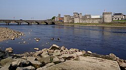 Site of CastleCastle, unclassified · 1467 yd
Explorer Tom Site of Castle in Ballyclogh is the shortcut that definitely isn’t a shortcut because it’s full of old bones and bad…
 Ballyclogh HouseHouse · 1471 yd
Explorer Tom Ballyclogh House in Limerick has been standing since the mid-seventeenth century, which is basically forever in house…
 Church in Ballyclogh (pubblebrien By.)Church · 1609 yd
Explorer Tom Ballyclogh Church is nowhere to be found because it got lost on the way to the party with King John. It would tell its…
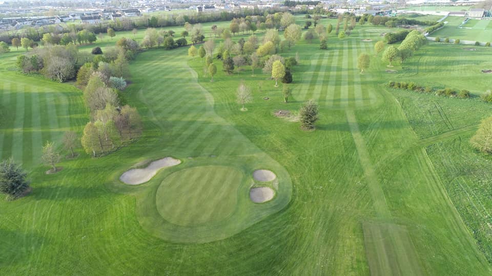 Rathbane Golf ClubGolf course · 1614 yd
 Southill HouseCountry house · 1697 yd
Explorer Tom Southill House in Rathbane South is secretly proud of its one good potato, which it hides in a drawer because it’s the…
 Old Christians GAA pitchGAA ground · 1.1 mi
 Limerick Golf ClubGolf course · 1.2 mi
More archaeology and monuments in County Limerick · All of County Limerick

What do you know about this place?Tap to add a comment or ask a question