What is recorded here
Shown on the 1st ed. (1838) of the OS 6-inch map as a small, circular enclosure (est. diam. c. 12m). Described in 1955 as a low circular mound (diam. 16.5m) with a fosse and outer bank, and damaged at the NE (SMR file). Possibly a ringbarrow. At the foot of a gentle N-facing pasture slope. No visible surface trace survives.
Compiled by: Gearóid Conroy
Date of upload: 13 February 2013
A circular earthwork, likely a Neolithic or early Bronze Age ring barrow or enclosure. Its presence on early maps and earthwork features suggest it was a significant ritual or funerary site, though its exact type and wider significance remain unclear.
The monument record does not grant public access. Check the route and ask the landowner before entering private land.
- What survives
- Recorded monument
Places near here
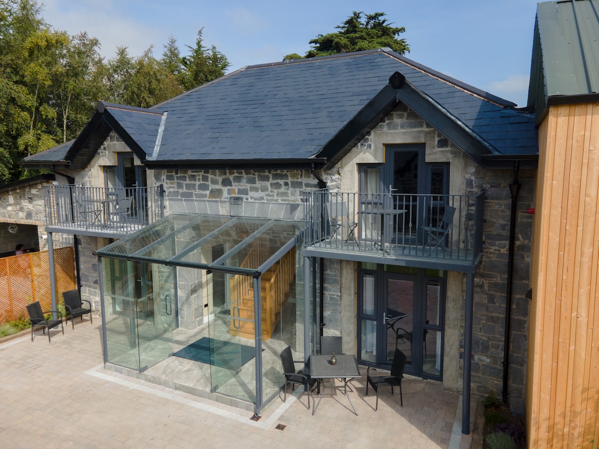 Enclosure in BallysaxhillsEnclosure · 756 yd
 St. Johns WellHoly well · 952 yd
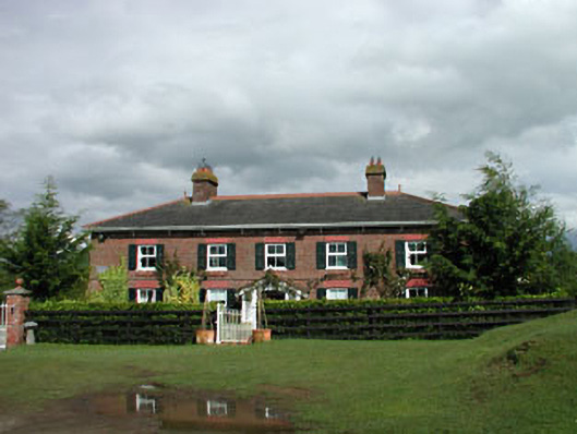 Sunnyhill Cottagehouse · 1257 yd
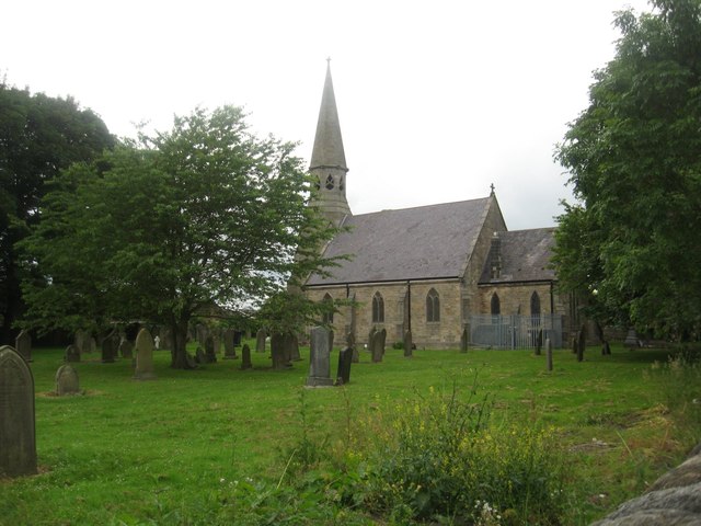 Church in Ballysax GreatChurch · 1326 yd
 Castle in RuinsCastle, tower house · 1.1 mi
 ElderElder · 1.3 mi
 1798 memorial stoneMonument · 2.2 mi
 Castlefish (in Ruins)Castle, unclassified · 2.7 mi
 HawthornHawthorn · 4.0 mi
 Newbridge SilverwareMuseum · 4.1 mi
 Battle of Kilrushbattle · 4.8 mi
 Japanese GardensHeritage attraction · 5.0 mi