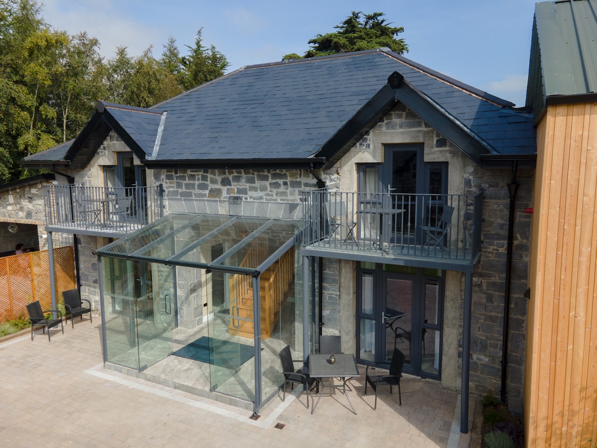
What is recorded here
Shown in this general area on Taylor's 1783 Map of County Kildare as small circular feature, possibly a ringfort. Area now occupied by cottages and gardens. No visible surface traces survive.
Compiled by: Gearóid Conroy
Date of upload: 19 February 2013
The monument record does not grant public access. Check the route and ask the landowner before entering private land.
- What survives
- Recorded monument
Places near here
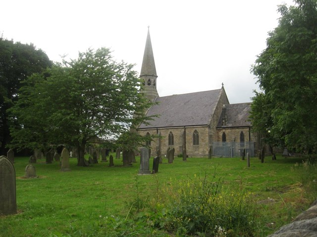 Church in Ballysax GreatChurch · 695 yd
 Enclosure in Moortown (ballysax East Ed)Enclosure · 1366 yd
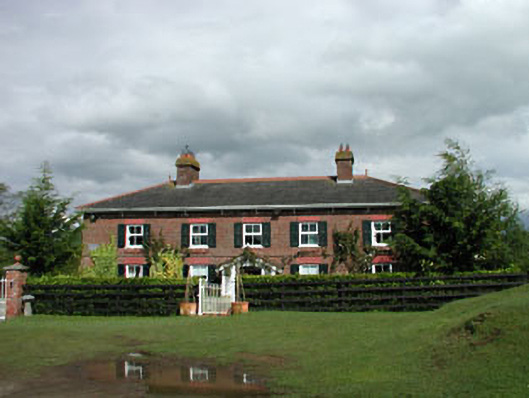 Sunnyhill Cottagehouse · 1471 yd
 St. Johns WellHoly well · 1667 yd
 ElderElder · 1718 yd
 Castle in RuinsCastle, tower house · 1.2 mi
 Blackhall CastleCastle, tower house · 3.9 mi
 Newbridge SilverwareMuseum · 3.9 mi
 Dawn RedwoodDawn Redwood · 4.6 mi
 Japanese GardensHeritage attraction · 4.6 mi
 Battle of Kilrushbattle · 4.7 mi
 History of Moat of ArdscullVisitor information · 8.1 mi
Other information
Photo: Credit not shown in the picture search · Rights wording not checked; contact us if this picture should be removed