What is recorded here
On a natural low hill which slopes off to NE, in pasture. Ringfort is tightly fenced off. Interior is planted with conifers, no diam. obtainable. Monument (int. diam. c. 65m N-S x c. 63m E-W) is defined from NW-N-S by scarp (H ranges from 0.35 S quadrant to 1.43m NW quadrant). Lot of stone around edge of scarp in N quadrant, this may be the result of field clearance or collapsed revetting on ext. face of scarp. The 1903 ed. OS 6-inch map depicts an outer bank running around the circumference of the monument, this outer bank only survives in the SW quadrant (Wth 0.8m; int. H 0.77m; ext. H 0.48m), with a fosse (Wth 2m; D 0.43m) between it and the internal scarp. Indicated as a large bivallate ringfort on the 1st (1840) ed. OS 6-inch map.
Compiled by: Jean Farrelly
Date of revised upload: 16 June 2016
The monument record does not grant public access. Check the route and ask the landowner before entering private land.
- What survives
- Recorded monument
Places near here
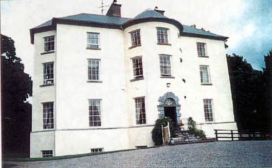 Longfield Housecountry house · 1087 yd
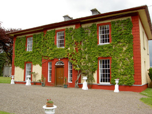 Woodford Househouse · 1106 yd
 IndicatedEnclosure · 1120 yd
 ShanspaurArchaeological place · 1574 yd
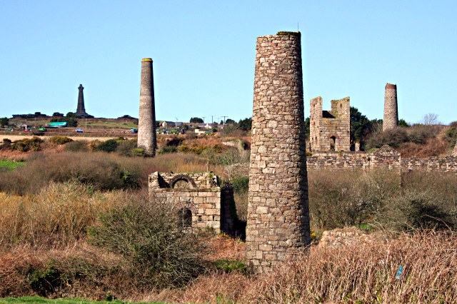 Site of Shanspaur (site of)Castle, unclassified · 1577 yd
 Ardmayle CastleCastle · 1.2 mi
 Clonoulty HillMountain / peak · 2.3 mi
 Wych ElmWych Elm · 3.5 mi
 Woodcock GroveWood · 3.9 mi
 Ballyknock HillMountain / peak · 4.4 mi
 Hore AbbeyHeritage attraction · 4.6 mi
 Rock of CashelHeritage attraction · 4.6 mi