What is recorded here
On a gentle SE facing slope at the edge of a small ornamental plantation. A possible enclosure which survives as a sharp scarp (1.4m high) which forms an arc (c. 1/8 of the 'enclosure') on the downslope (SE) side. This may be a landscape feature or an enclosure which has been modified to form a landscape feature.
From the National Monuments Service (Archaeological Survey of Ireland) record WI043-007
The monument record does not grant public access. Check the route and ask the landowner before entering private land.
- What survives
- Recorded monument
Places near here
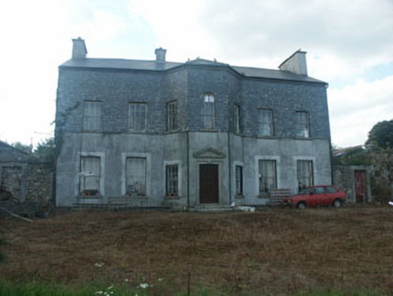 Ballyraheen HouseCountry house · 1156 ydEnclosure in Newtown (shillelagh By.)Enclosure · 1257 yd
 Sessile Oak1381 ydEnclosure in Newtown (shillelagh By.)Enclosure · 1402 yd
 Sweet Chestnut1708 yd
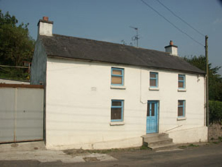 Heather CottageHouse · 1.5 miBallynultagh HillMountain / peak · 1.9 mi(Site of) Raymond CastleCastle, unclassified · 3.5 miLuke O'Toole MemorialMemorial · 3.9 mi1798 Lacey Brothers MemorialMemorial · 4.1 mi
 Clonmore Castle (in Ruins)Castle, Anglo-Norman masonry castle · 4.3 mi
 Eagle HillMountain / peak · 5.2 mi
Pictures: National Inventory of Architectural Heritage; Maker named on the Wikimedia Commons picture page · CC BY-SA 2.5; Miguel Angel Masegosa Martínez, Wikimedia Commons · CC BY 2.0; liam murphy, Wikimedia Commons · CC BY-SA 2.0; Jonathan Billinger, Geograph · CC BY-SA 2.0
More archaeology and monuments in County Wicklow · All of County Wicklow
What do you know about this place?