What is recorded here
Marked as a circular enclosure (diam. c. 30m) on the 1840 ed. of the OS 6-inch map. Situated just off the crest of the E-facing slope of a S-N spur overlooking the River Blackwater, c. 450m to the E. Circular grass-covered area (diam. 24m) defined by a scarp (max. H 0.7m) NE-SW and a slight dip elsewhere. There is a possible entrance at SW.
From the National Monuments Service (Archaeological Survey of Ireland) record WA034-008
The monument record does not grant public access. Check the route and ask the landowner before entering private land.
- What survives
- Recorded monument
Places near here
Photo credits
- National Inventory of Architectural Heritage
- E. H. (E. Hayden), Wikimedia Commons · Public domain
- Hywel Williams, Wikimedia Commons · CC BY-SA 2.0
- Willow, Wikimedia Commons · CC BY 2.5
- MonikaLisa2, Wikimedia Commons · CC BY-SA 4.0
- Mike Searle, Geograph · CC BY-SA 2.0
- Taken by Fanghong, Wikimedia Commons · CC BY-SA 3.0
- Mike Searle, Wikimedia Commons · CC BY-SA 2.0
- Gfwc70, Wikimedia Commons · CC BY-SA 4.0
- Hywel Williams, Geograph · Creative Commons Attribution-ShareAlike 2.0
- TheLizardQueen, Wikimedia Commons · CC BY 2.0
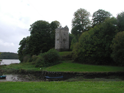 Strancally CastleFolly · 799 yd
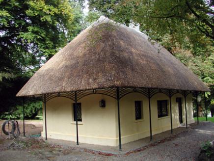 Strancally CastleCottage ornee · 905 yd
_(cropped).jpg/250px-Strancally_Castle,_1834_(IA_jstor-30004451)_(cropped).jpg "Photo: E. H. (E. Hayden), Wikimedia Commons · Public domain") Strancally CastleCastle · 1071 yd
Strancally CastleCastle · 1071 yd Ogham StonesOgham stone · 1.7 mi
 European ash4.1 mi
 Clashmore Heritage CentreHeritage attraction · 4.2 mi
 Molana AbbeyHeritage attraction · 4.2 mi
 London Plane4.3 mi
 Tourin CastleCastle, tower house · 4.3 mi
 Site of ChurchChurch · 4.5 mi
 Saint Declan's Holy WellSpring · 4.5 mi
 Battle of AffaneMajor battlefield · 4.9 mi
More archaeology and monuments in County Waterford · All of County Waterford
What do you know about this place?