
What is recorded here
Goodbody (1993) has identified an impressive section of linear earthwork, which may be part of the Pale Ditch. It is located on a valley floor at the foot of the Dublin Mountains. It runs on a line between Carrickmines Castle (DU026-005---) and Kilgobbin castle (DU025-017001-). It comprises a high, flat-topped bank (H 2.50m, Wth 2-3m) with contiguous ditches on both sides. The ditch on the northern side (Wth 2.4m, D 0.40m) is shallower than that on the southern side (Wth.3m, D 1m). There are thorns growing on the bank. Archaeological investigations in 1998 exposed a section through the base of the ditch (Wth 1.6m, D1.2m), no finds were recovered (Reid, M 1999, 61 https://www.excavations.ie/report/1998/Dublin/0003377/).
Compiled by: Geraldine Stout and Padraig Clancy.
Revised upload on: 21 April 2018.
The monument record does not grant public access. Check the route and ask the landowner before entering private land.
- What survives
- Recorded monument
Places near here
 Enclosure in Jamestown (rathdown By.)Enclosure · 196 yd
 Church in KilgobbinChurch · 735 yd
 Designed landscapeDesigned landscape, tree-ring · 1074 yd
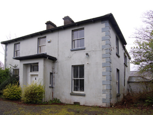 Clay Farmfarm house · 1115 yd
 Bawn in Carrickmines GreatBawn · 1251 yd
 Foxrock VillageVisitor information · 1567 yd
 Foxrock Village Heritage MapVisitor information · 1616 yd
 Murphystown Castle (in ruins)Castle, tower house · 1.1 mi
 Flat cemetery in CarmanhallFlat cemetery · 1.2 mi
 Silver BirchSilver Birch · 1.4 mi
 Monterey CypressMonterey Cypress · 1.4 mi
 Proclamation of the Irish RepublicMemorial · 1.6 mi
Other information
Photo: Credit not shown in the picture search · Rights wording not checked; contact us if this picture should be removed