
What is recorded here
This enclosure site is located in an urban area, to the south of the Ballyogan Road. The site was marked as a tree ring on the 1843 OS 6-inch map. (diam. c. 22m). The site has been built on and is not visible at ground level.
Compiled by: Geraldine Stout and Padraig Clancy.
Revised upload on: 2 April 2018
The monument record does not grant public access. Check the route and ask the landowner before entering private land.
- What survives
- Recorded monument
Places near here
 IndicatedLinear earthwork · 196 yd
 Church in KilgobbinChurch · 849 yd
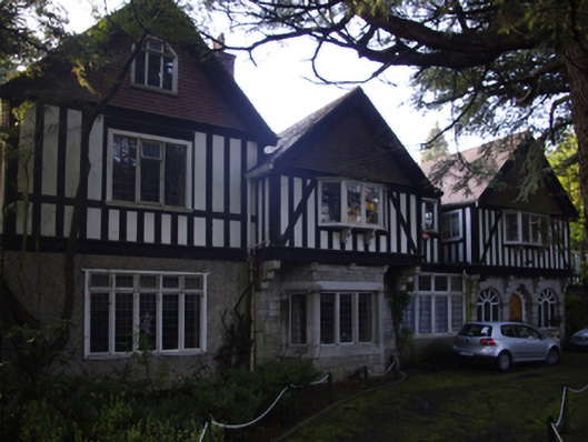 Carrickbyrnhouse · 1095 yd
 Urn burial in KilgobbinUrn burial · 1247 yd
 Bawn in Carrickmines GreatBawn · 1291 yd
 Foxrock VillageVisitor information · 1385 yd
 Foxrock Village Heritage MapVisitor information · 1438 yd
 Murphystown Castle (in ruins)Castle, tower house · 1.0 mi
 Flat cemetery in CarmanhallFlat cemetery · 1.1 mi
 Silver BirchSilver Birch · 1.3 mi
 Monterey CypressMonterey Cypress · 1.3 mi
 Proclamation of the Irish RepublicMemorial · 1.5 mi
Other information
Photo: Credit not shown in the picture search · Rights wording not checked; contact us if this picture should be removed