
What is recorded here
This site is located in a flat area, which has been heavily landscape due to its location within Stepaside Golf Course. There are no visible traces of the early church site associated with St. Caoin at Jamestown. It formerly lay close to a levelled area identified as a burial ground SW of the cross (DU026-004004-; Turner 1983, 64; Goodbody 1993, 10).
Compiled by: Geraldine Stout and Padraig Clancy.
Revised upload on: 2 April 2018
This remains an important historical record, but the official description says the monument is no longer visible or has been destroyed. The monument record does not grant public access. Check the route and ask the landowner before entering private land.
- What survives
- No visible remains or recorded as destroyed
Places near here
 IndicatedCist · 409 yd
 Designed landscapeDesigned landscape, tree-ring · 626 yd
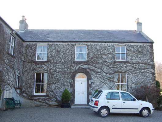 Jamestown Housefarm house · 641 yd
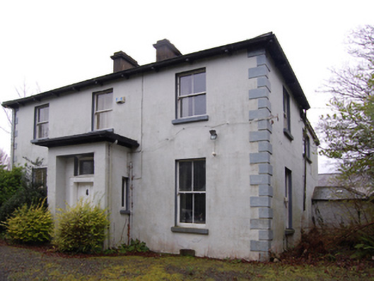 Clay Farmfarm house · 729 yd
 Bawn in Carrickmines GreatBawn · 1.1 mi
 Murphystown Castle (in ruins)Castle, tower house · 1.1 mi
 Dingle GlenNature reserve · 1.2 mi
 Flat cemetery in CarmanhallFlat cemetery · 1.2 mi
 Foxrock VillageVisitor information · 1.2 mi
 Foxrock Village Heritage MapVisitor information · 1.3 mi
 Silver BirchSilver Birch · 1.5 mi
 Three Rock MountainMountain / peak · 1.5 mi
Other information
Photo: Credit not shown in the picture search · Rights wording not checked; contact us if this picture should be removed