What is recorded here
Located on a sea-stack now connected to the mainland by an eroded and impassable rock isthmus. The interior of pormontory fort (WA032-016001-) is reputed to have a number of hut sites, and three are indicated on the 1840 ed. of the OS 6-inch map (Westropp 1914-16, 219-21), but the fort is now isolated on a sea stack.
Compiled by: Michael Moore
Date of upload: 26th September, 2011.
The monument record does not grant public access. Check the route and ask the landowner before entering private land.
- What survives
- Recorded monument
Places near here
 Site of EntrenchmentPromontory fort, coastal · 7 yd
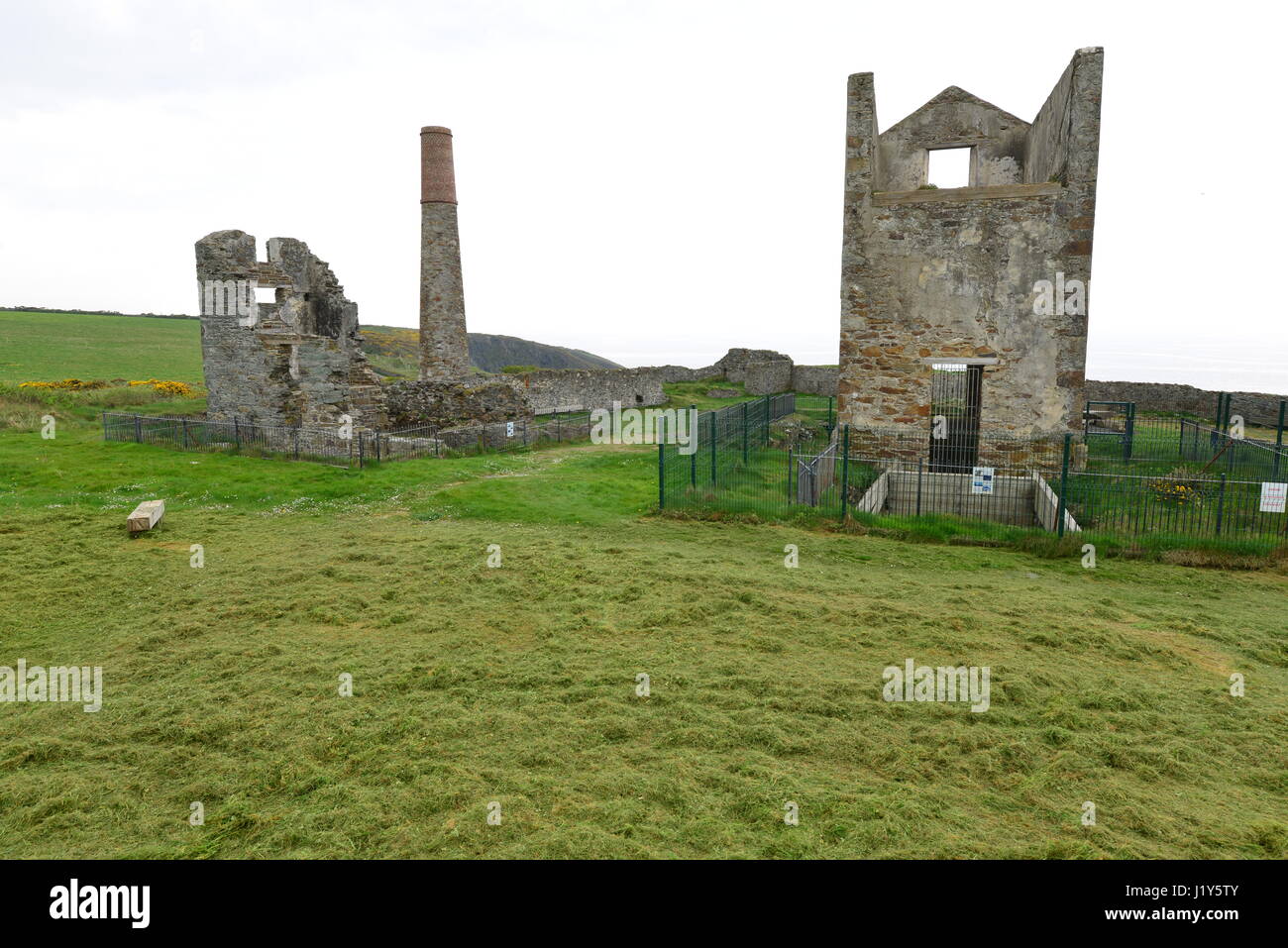 Mine in BallynarridMine · 87 yd
 Promontory fortPromontory fort, coastal · 295 yd
 TempleobrickChurch · 334 yd
 Ballydowane CoveBeach / strand · 983 yd
 Tra na mBoBeach / strand · 1232 yd
 Trá na mBóVisitor information · 1357 yd
 Bunmahon StrandBeach / strand · 1.2 mi
 Bunmahon Miners' CottagesVisitor information · 1.2 mi
 Copper CoastCoastal geological landscape · 1.4 mi
 Mandevilles RockCastle, unclassified · 2.6 mi
 St. Bernard's WellSpring · 3.5 mi