What is recorded here
Indicated is a crossroads cluster in County Cork where two thatched buildings still stand beside the road. One is an L-shaped public house, the other a five-bay dwelling whose chimney and door avoid the centre as if the house were listening rather than being seen. Mount Uniacke appeared on the 1842 map, but much of the settlement has thinned out, leaving only enough shape to suggest that people once gathered, drank, argued and went home through the same gap in the hedge.
Crossroads settlement cluster shown on 1842 OS 6-inch map named Mount Uniacke; little remains. Two one-storey thatched structures survive, one an L-shaped public house; the second a 5-bay, hipped-roof dwelling with off-centre chimney to right and off-centre door to left.
The above description is derived from the published 'Archaeological Inventory of County Cork. Volume 2: East and South Cork' (Dublin: Stationery Office, 1994). In certain instances the entries have been revised and updated in the light of recent research.
Date of upload/revision: 14 January 2009
The monument record does not grant public access. Check the route and ask the landowner before entering private land.
- What survives
- Recorded monument
Places near here
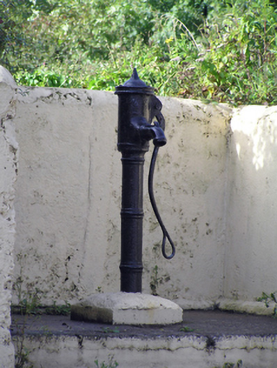 water pumpwater pump · 48 yd
 Mount Uniacke (in Ruins)Country house · 582 yd
 Enclosure in Corbally (imokilly By., Dangandonovan Par.)Enclosure · 899 yd
 Glenbower WoodForest · 1.4 mi
 Grave YardGraveyard · 1.4 mi
 Castle (in Ruins)Castle, unclassified · 1.8 mi
 Fainin's WellSpring · 1.9 mi
 Historical Graveyard InformationVisitor information · 2.8 mi
 Castle (Site of)Castle, unclassified · 3.4 mi
 Leahy's Open FarmHeritage attraction · 3.6 mi
 Clonmult Ambush SiteBattlefield · 4.1 mi
 Salt HillMountain / peak · 4.6 mi