What is recorded here
Ballynahowna Castle lost its lines before the twentieth century, leaving only a grassy terrace and a faint sod-covered rise beside the Easkey River. The place still holds the shape of a hidden house, perhaps a tower kept inside a bawn while the valley breathed around it.
In pasture, at a possible tower house (SL011-092----) located in the valley of the Easkey River, on a level terrace bordering the W bank of the river. A polygonal enclosure (c. 35m E–W; c. 25m N–S), with a short projection to N at the NE corner, is depicted on the 1837 OS 6-inch map and named ‘Ballynahowna Castle’. It is not shown on the later 25-inch plan or on the 1913 OS 6-inch edition. It may represent a bawn which enclosed a possible tower house (SL011-092----). There is meagre evidence on the ground. The remains of the castle stand on a level, grassy area (Wth c. 40m E–W) bordered to W by damp, boggy ground and at E by a scarp/slope (H c. 2m; Wth c. 4m) which drops to a lower terrace (Wth 5-6m) bordering the river’s edge. Slight remnants of a wall/field boundary, evident as a low, sod-covered rise (Wth 1.5m) define the edge of the grassy area to SW of the castle, and can are also visible c. 25m to N.
Compiled by: Jane O’ Shaughnessy
Date of upload: 9 March 2016
The monument record does not grant public access. Check the route and ask the landowner before entering private land.
- What survives
- Recorded monument
Places near here
 Ballynahowna CastleCastle, tower house · 1 yd
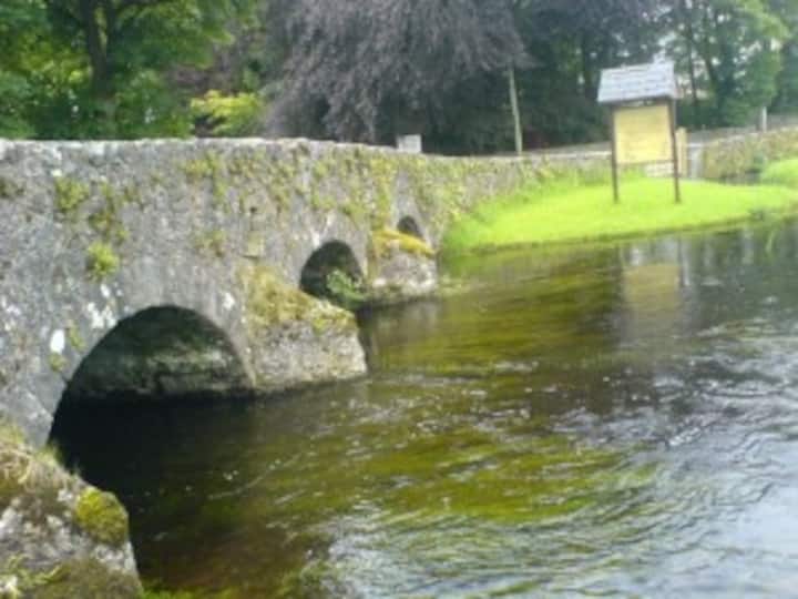 IndicatedFairy fort / earthen ringfort · 447 yd
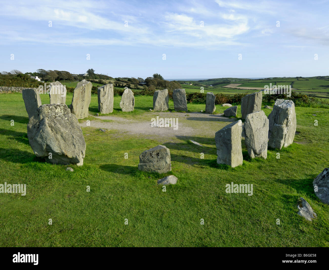 Druids AltarArchaeological place · 599 yd
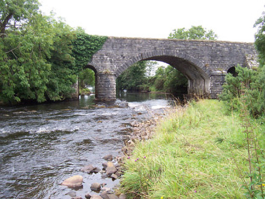 bridgebridge · 606 yd
 Dromore West Union WorkhouseRuins · 675 yd
 CastleCastle, motte · 1215 yd
 Split RockNamed rock · 1.7 mi
 DonaghHeadland · 2.9 mi
 Jim Smith MemorialMemorial · 3.0 mi
 Wild Atlantic Way: Easky PierVisitor information · 3.2 mi
 Wild Atlantic Way: Inishcrone PierVisitor information · 7.3 mi
 Grave of the Black PigArchaeological place · 7.6 mi