What is recorded here
Situated in the grounds of Woodland House located 200m to SW and 400m NNE of Lough Owel with good views of the surrounding countryside. A circular shaped area (approx. diam. 30m E-W) enclosed by a well preserved earth and stone bank (max. H 1.25m) and wide external fosse (max. D 1m). See attached profile of monument surveyed and drawn by the ASI
Compiled by: Frank Coyne and Caimin O'Brien
Date of upload: 16 February 2018
From the National Monuments Service (Archaeological Survey of Ireland) record WM012-084
The monument record does not grant public access. Check the route and ask the landowner before entering private land.
- What survives
- Recorded monument
Places near here
Photo credits
- National Inventory of Architectural Heritage
- kevin higgins, Geograph · CC BY-SA 2.0
- Bridget Neville, Wikimedia Commons · CC BY-SA 4.0
- Mike Searle, Geograph · CC BY-SA 2.0
- Rev William Falkiner (Life time: d 1910), Wikimedia Commons · Public domain
- Kieran Campbell, Geograph · CC BY-SA 2.0
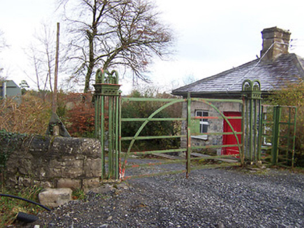 Ardilaun HouseLevel crossing, gates/railings/walls · 174 ydOutlinedFairy fort / earthen ringfort · 786 yd
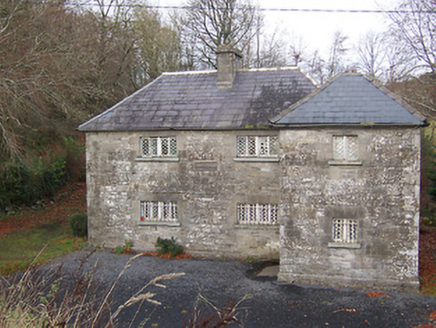 Ric barracks889 ydOutlinedFairy fort / earthen ringfort · 893 ydScragh Bog Nature ReserveNature reserve · 1.3 mi
 Church IslandIsland · 1.6 miCarrickphilbin IslandIslet · 1.8 miLady's IslandWood · 2.2 mi
 Saint Brigid's WellSpring · 3.1 mi
 Carrick CastleCastle · 3.2 mi
 Mortimer's CastleArchaeological place · 4.4 mi
 WestmeathVisitor information · 5.1 mi
More archaeology and monuments in County Westmeath · All of County Westmeath
What do you know about this place?