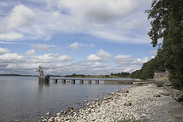
What is recorded here
Situated at the bottom of a low ridge on good pasture which rises gradually S of the site, with Ballynafid Lake 110m to W. Depicted as a tree-lined enclosure and annotated as a 'fort' on the 1837 ed. OS Fair Plan map. Circular shaped area (approx. diam. 35m N-S ) enclosed by a low earth and stone bank with external fosse only visible at E, and from W-WNW. Present wide entrance gap at SW with a second blocked up entrance at SE, neither of which are well defined. The enclosing bank is defaced and the profile has been sharpened in recent times. Post 1700 field fences intersect the perimeter of the monument at N, SE and SW. Cultivation ridges are visible running E-W across the interior of the monument. Modern dwelling and farm buildings adjacent to site on the S. Modern road running N-S intersects perimeter of monument at E.
See attached profile of monument surveyed and drawn by the ASI.
Compiled by: Frank Coyne and Caimin O'Brien
Date of upload: 16 February 2018
The monument record does not grant public access. Check the route and ask the landowner before entering private land.
- What survives
- Recorded monument
Places near here
 Partially indicatedFairy fort / earthen ringfort · 507 yd
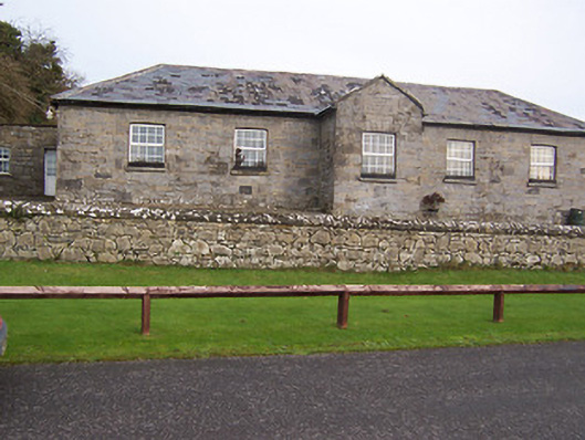 Ballynafid National Schoolschool · 630 yd
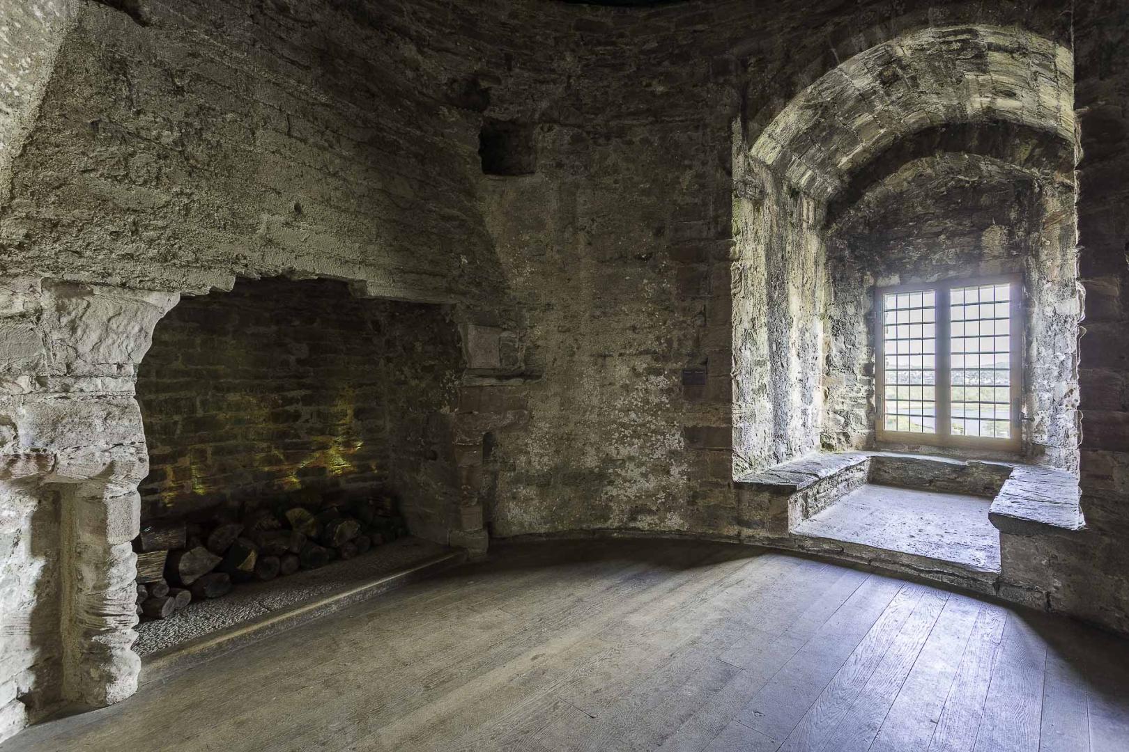 Ceremonial enclosure in KnightswoodCeremonial enclosure · 669 yd
 ‘Abbey’Church · 839 yd
 CastleCastle, motte · 960 yd
 Scragh Bog Nature ReserveNature reserve · 1717 yd
 Church IslandIsland · 1.6 mi
 Carrickphilbin IslandIslet · 2.1 mi
 Lady's IslandWood · 2.2 mi
 Nugent's CastleCastle · 2.3 mi
 Bridge Memorial (Kenna)Memorial · 2.6 mi
 Saint Brigid's WellSpring · 3.0 mi
Other information
Photo: Credit not shown in the picture search · Rights wording not checked; contact us if this picture should be removed