
What is recorded here
Situated on a slight SE-facing slope in pasture. The SW one-third of the site now lies under a modern NW-SE orientated public roadway. Raised roughly D-shaped area (20 NW-SE; 15m NE-SW) enclosed by a bank of earth (Wth 5.6m; int. H 0.4m). No fosse is visible at ground level. The original bank encloses the site NW-SSE. A small roughly circular quarry (diam 4m; D 0.4m) has removed the bank at SSE-S. From S-NW the present edge of the site is defined by a modern bank of earth and stone (Wth 4m; int. H 0.3m; ext. H 1.5m) derived from the construction of the roadway. The original entrance to the site is not recognisable.
Compiled by: Mark Keegan
Date of upload: 19 January 2011
The monument record does not grant public access. Check the route and ask the landowner before entering private land.
- What survives
- Recorded monument
Places near here
 Enclosure in Ballymeeny (jones)Enclosure · 335 yd
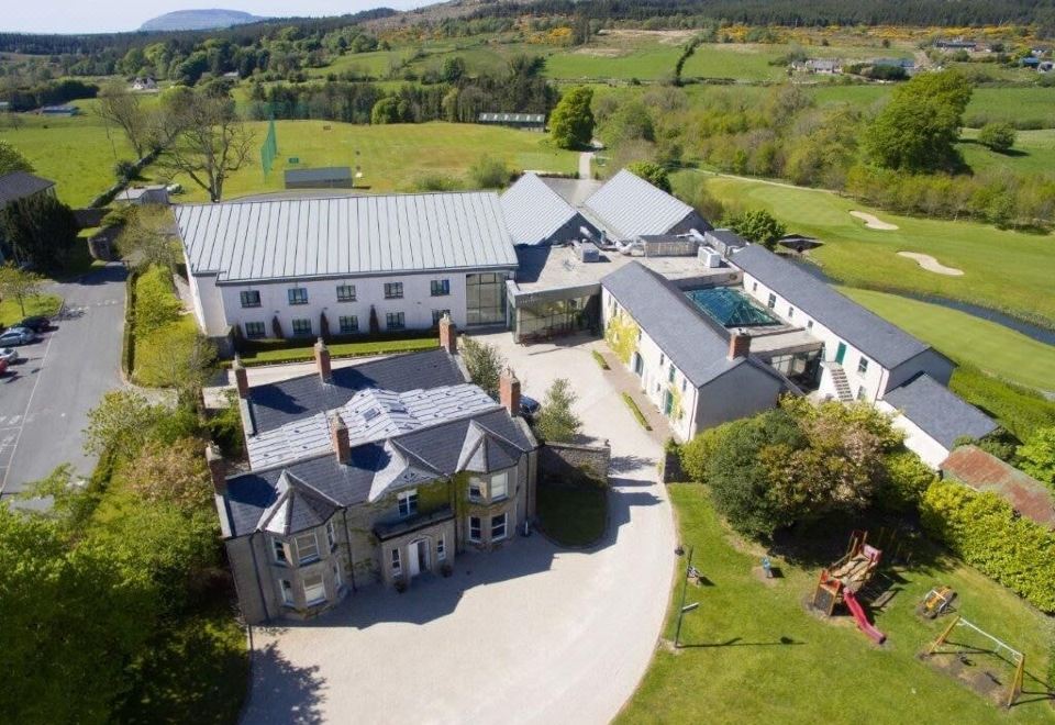
 Glenburn Househouse · 444 yd
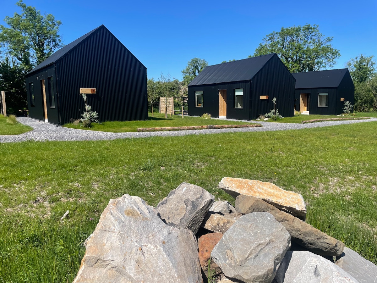 Hut site in Alternan ParkHut site · 533 yd
 Split RockNamed rock · 1455 yd
 CastleCastle, motte · 1.1 mi
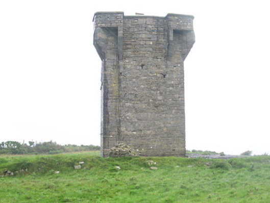 Carrownrush Towersignal tower · 1.2 mi
 Ballynahowna CastleCastle, tower house · 1.3 mi
 Cooanmore PointHeadland · 2.0 mi
 Jim Smith MemorialMemorial · 2.1 mi
 Wild Atlantic Way: Easky PierVisitor information · 2.5 mi
 Aughris BeachBeach / strand · 6.2 mi
 Eamonn's TopMountain / peak · 7.5 mi
Other information
Photo: Credit not shown in the picture search · Rights wording not checked; contact us if this picture should be removed