What is recorded here
In rough, wettish pasture, located on a low NW–SE ridge, immediately to S of a rath (SL011-136----) and hut site (SL011-136001-). A subrectangular area (21m NW–SE; 18.4m NE–SW) defined by an earthen bank (Wth 2m; int. H 0.3m; ext. H 0.6m, at SE) but open on the NW side. The enclosure has a rather irregular shape. The bank at the N corner, which lies 2m S of the rath, is expanded to a width of c. 5m. The bank on the SE side describes a somewhat meandering line, bowing outwards in a gentle curve. The E corner appears rounded rather than angular. The bank is gapped and poorly preserved on the SE side and also on the SW side, where it may have been incorporated into a field fence on a NW–SE axis. The function of this enclosure, and its relationship to the rath, is unclear. It may be the remnant of a small field plot.
Compiled by: Jane O’Shaughnessy
Date of upload: 22 April 2013
The monument record does not grant public access. Check the route and ask the landowner before entering private land.
- What survives
- Recorded monument
Places near here
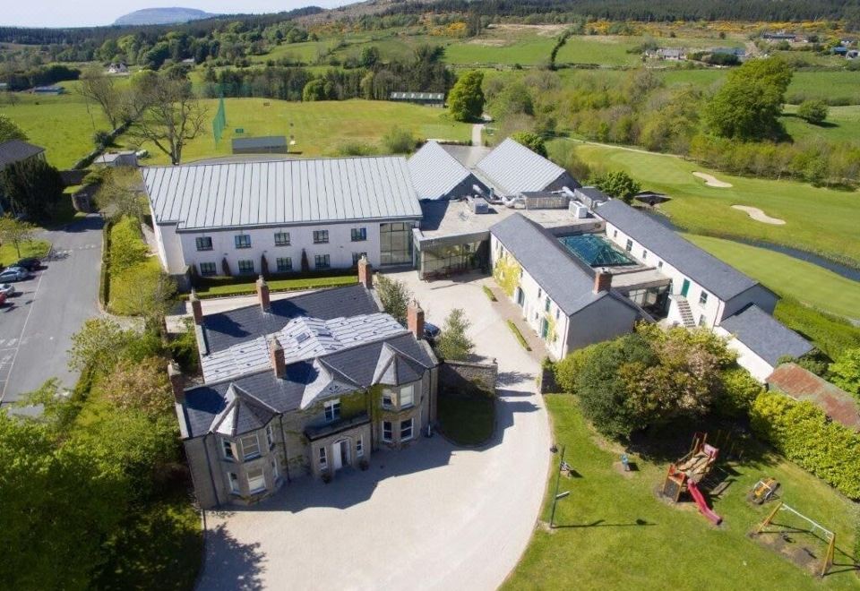
 IndicatedFairy fort / earthen ringfort · 335 yd
 Glenburn Househouse · 729 yd
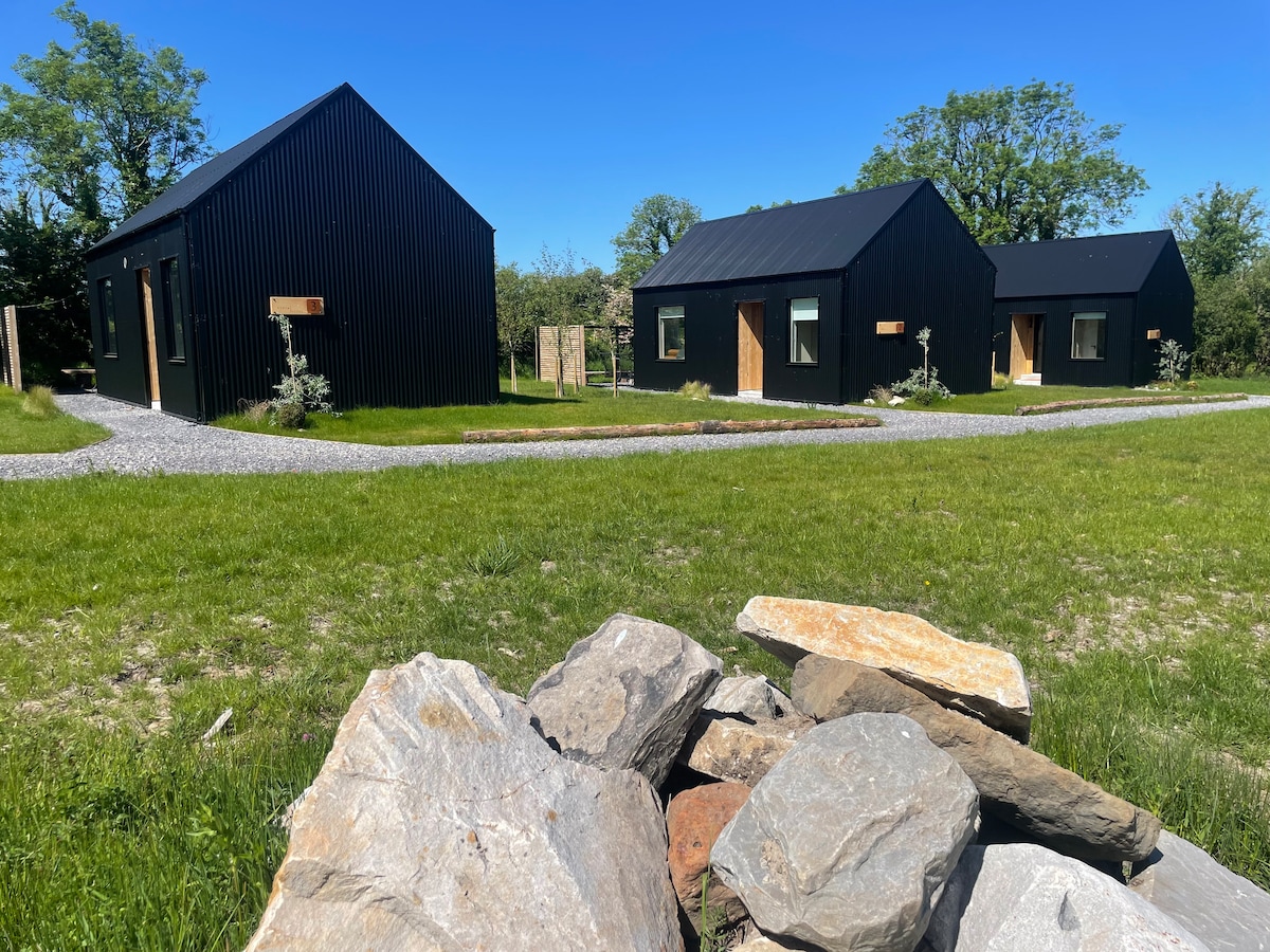 Hut site in Alternan ParkHut site · 867 yd
 Split RockNamed rock · 1216 yd
 CastleCastle, motte · 1710 yd
 Ballynahowna CastleCastle, tower house · 1.3 mi
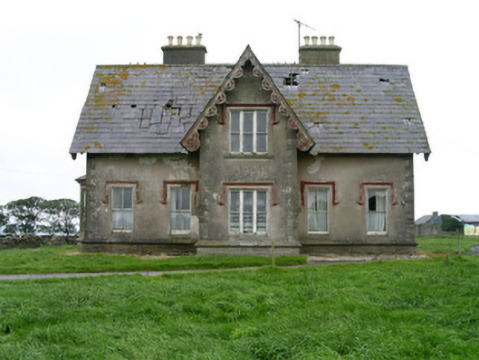 Templeviewhouse · 1.3 mi
 Cooanmore PointHeadland · 1.9 mi
 Jim Smith MemorialMemorial · 2.0 mi
 Wild Atlantic Way: Easky PierVisitor information · 2.4 mi
 Aughris BeachBeach / strand · 6.4 mi
 Eamonn's TopMountain / peak · 7.6 mi
Other information
Photo: Credit not shown in the picture search · Rights wording not checked; contact us if this picture should be removed