
What is recorded here
In pasture, located on level ground broken by limestone bedrock on top of a broad hill, overlooked at NW by a higher ridge. On its NE-S side, the hill drops into a small valley with two interconnected lakes, known as Garvanagh Lough, from the S end of which a stream/drain flows, skirting the base of the hill at SW. This enclosure is not indicated on the 1836 OS 6-inch map but is indicated on the 1907 edition as a polygonal enclosure, bordered at E by a NW-SE field boundary. It consists of an oval area (39.5m NW-SE; 28m NE-SW) defined by a stone bank/ruined wall (Wth 2-3m; H 0.2-0.3m). The stone bank appears as a low, moss- and sod-covered rise from which stones protrude randomly. At NE-SE, it is incorporated into a later NW-SE field wall. Ruined field walls, on a NE-SW axis, also intersect with the enclosure at E and W. The interior of the enclosure is not raised above exterior ground level. It is relatively level but has an uneven surface broken by much moss-covered stone/karst, concentrated in a band extending through the W half. In the SE quadrant there is a shallow depression bordering the inner edge of the enclosing stone bank. There is another enclosure (DG103-074----) 16m to SE.
Attached image:
DG103-073----_01.JPG viewed from SE
Compiled by: Jane O'Shaughnessy
Date of upload: 20 May 2015
The monument record does not grant public access. Check the route and ask the landowner before entering private land.
- What survives
- Recorded monument
Places near here
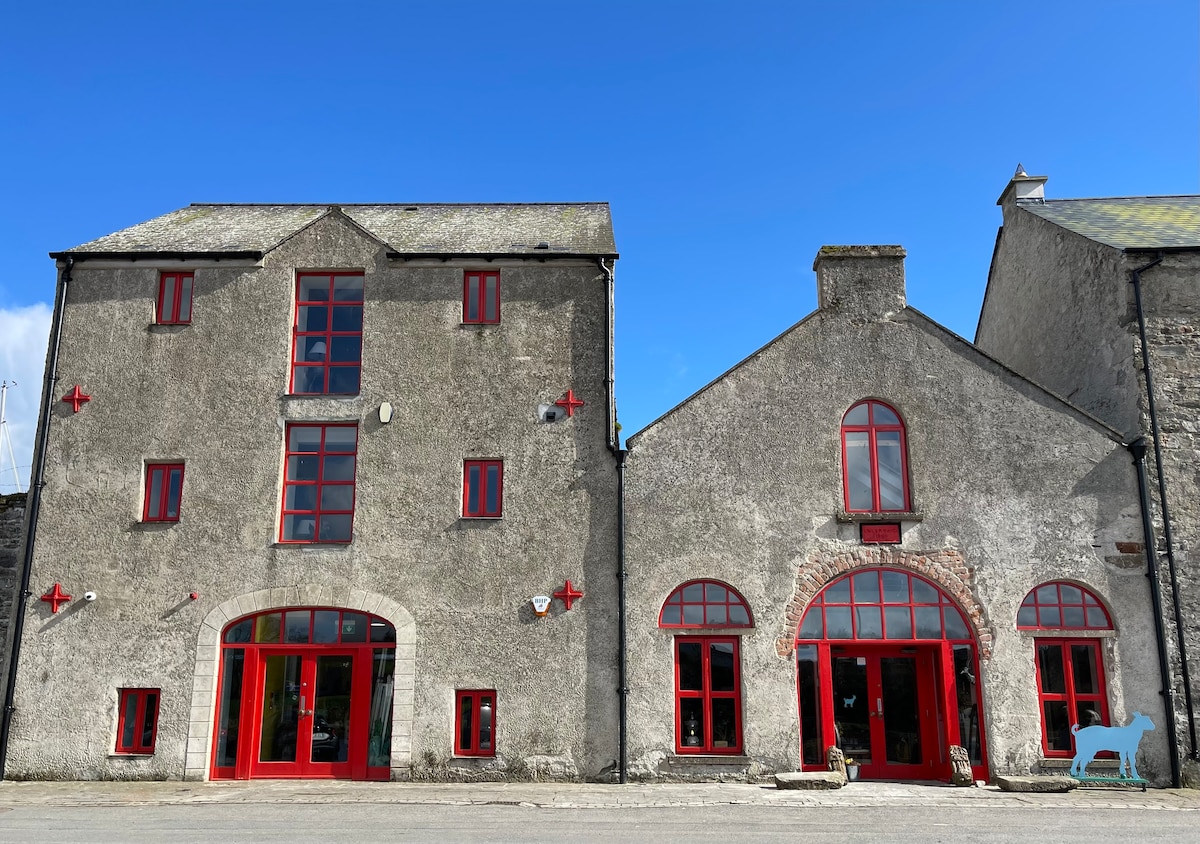 Enclosure in Ballymagrorty ScotchEnclosure · 55 yd
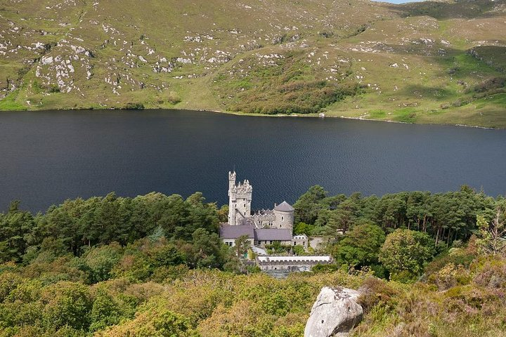 Enclosure in GarvanaghEnclosure · 335 yd
 HawthornHawthorn · 1.3 mi
 Castle (Site of)Castle, unclassified · 1.3 mi
 Aghadullagh Bridgebridge · 1.4 mi
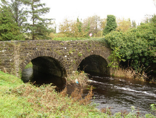 Ballintra Bridgebridge · 1.5 mi
 RossnowlaghOfficial bathing water · 3.7 mi
 MurvaghOfficial bathing water · 3.9 mi
 Castle in ruinsCastle, unclassified · 4.2 mi
 St Anne's Church GraveyardGraveyard · 4.5 mi
 Kilbarron Old Church GraveyardGraveyard · 4.5 mi
 Rooney's IslandIslet · 4.9 mi
Other information
Photo: Credit not shown in the picture search · Rights wording not checked; contact us if this picture should be removed