What is recorded here
In nearly level pasture rising gently to WNW. Circular area (31m NE-SW; 31.5m NW-SE) enclosed by earthen bank (H 1.9m) NW->ESE; low earthen bank (H 0.7m) topped by stone wall ESE->NW; external fosse (D 0.8m) to SSW.
The above description is derived from the published 'Archaeological Inventory of County Cork. Volume 1: West Cork' (Dublin: Stationery Office, 1992). In certain instances the entries have been revised and updated in the light of recent research.
Date of upload/revision: 14 January 2009
The monument record does not grant public access. Check the route and ask the landowner before entering private land.
- What survives
- Recorded monument
Places near here
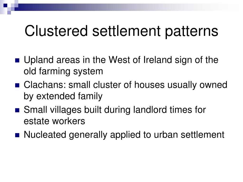 Settlement cluster in BallymacshoneenSettlement cluster · 456 yd
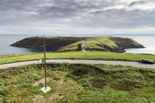 Signal Tower ViewViewpoint · 753 yd
 Burial Gd (Disused)Burial ground · 915 yd
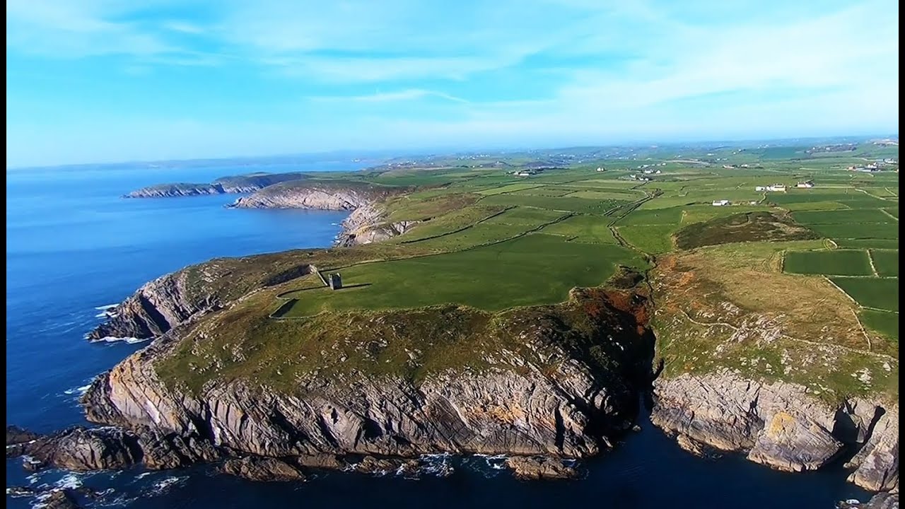 Seven Heads PeninsulaViewpoint · 918 yd
 signal towersignal tower · 954 yd
 Balllylangy Housecountry house · 1758 yd
 Dunworly CastleCastle · 1.5 mi
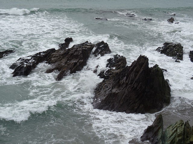 Dunworly BeachBeach / strand · 1.5 mi
 Dunworly PointHeadland · 1.5 mi
 Rock Castle (in Ruins)Castle, tower house · 2.2 mi
 HDS walk Coolim CliffsHeritage attraction · 2.3 mi
 Blind StrandBeach / strand · 2.5 mi