What is recorded here
On top of a small drumlin overlooking the Boyle river, c. 150m to the S. Subcircular grass-covered but poached area (dims. 29.8m E-W; 25.7m N-S) defined by an overgrown flat-topped earthen bank (Wth of base 8-8.5m; Wth of top 2.7-3m; int. H 0.9m; ext. H 2-2.2m) and an outer fosse (Wth of top 6.7m at W to 11.4m at E; Wth of base 3.8m at W to 5m at E; D 0.6-1m), with traces of an outer bank (Wth 6.5m; ext. H 0.1m) NE-E. The entrance (Wth 3.5m) is at ESE.
Compiled by: Michael Moore
Date of upload: 24 August 2010
The monument record does not grant public access. Check the route and ask the landowner before entering private land.
- What survives
- Recorded monument
Places near here
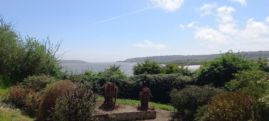 Enclosure in ArdsallaghEnclosure · 866 yd
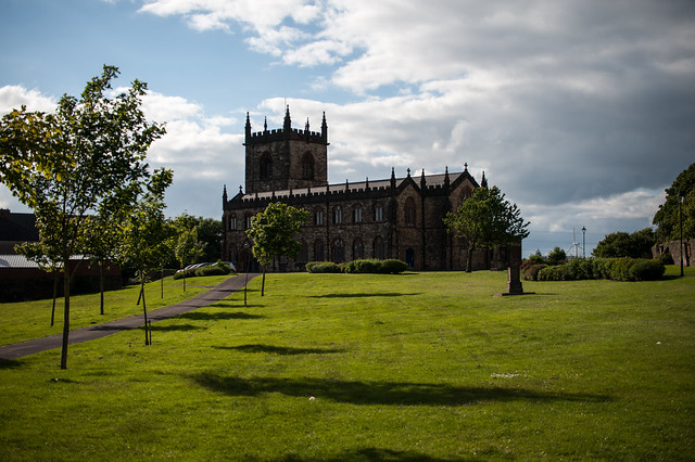 Assylin ChurchChurch · 1028 yd
 IndicatedFairy fort / earthen ringfort · 1366 yd
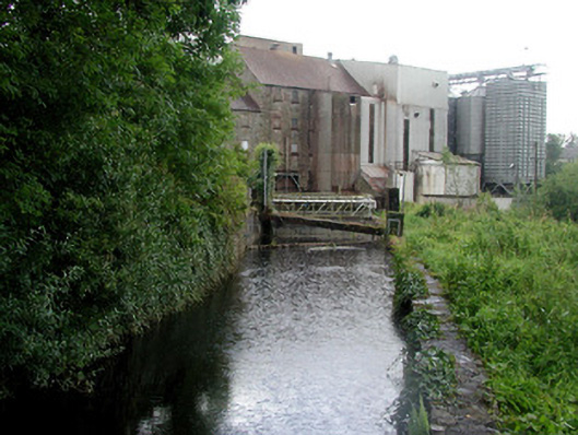 mill racemill race · 1.0 mi
 King William MemorialMonument · 1.4 mi
 Boyle AbbeyHeritage attraction · 1.6 mi
 Battle of Curlew PassMajor battlefield · 2.2 mi
 Battle of the Curlew Mountains (1599)Battlefield · 2.2 mi
 Curlew MountainsMountain / peak · 2.6 mi
 Bingham IslandIslet · 3.2 mi
 Erris BayBay · 3.2 mi
 Church IslandIslet · 3.5 mi