What is recorded here
From the National Monuments Service (Archaeological Survey of Ireland) record WA018-028
Places near here
Photo credits
- Maker not stated on source page, account.travel
- Maker not stated on source page, en.wikipedia.org
- Maker not stated on source page, www.pinterest.com
- Maker not stated on source page, au.pinterest.com
- Maker not stated on source page, fi.pinterest.com
- Maker not stated on source page, www.alamy.com
- National Inventory of Architectural Heritage
- Maker not stated on source page, www.airbnb.ca
- Noel Browne / Waterford News & Star, www.waterford-news.ie
- Paul O'Farrell, Geograph · CC BY-SA 2.0
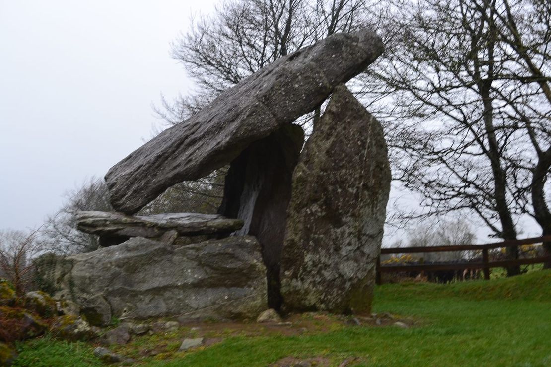 Bullaun stone in KilmacombBullaun stone · 1758 yd
Explorer Tom Bullaun stone in Kilmacomb vanished from the church after a smuggling ring got confused about whether it was contraband…
 Harristown Passage TombArchaeological place · 1.1 mi
Explorer Tom Harristown Passage Tomb would survive a zombie apocalypse just by sitting there and being incredibly difficult for the…
 Bullaun stone in Ballygarran (gaultiere By.)Bullaun stone · 1.6 mi
Explorer Tom Bullaun stone in Ballygarran has an imaginary twin across the sea that sends postcards. It sits at the crest of a slope…
 Cross-inscribed stone in Ballygarran (gaultiere By.)Cross-inscribed stone · 1.6 mi
Explorer Tom Cross-inscribed stone in Ballygarran has an imaginary twin across the sea who constantly teases it about being left on…
 Graveyard in Kilcop UpperGraveyard · 1.8 mi
Explorer Tom Kilcop Upper holds a fake world record for being the least visible graveyard on a small elevated plateau in County…
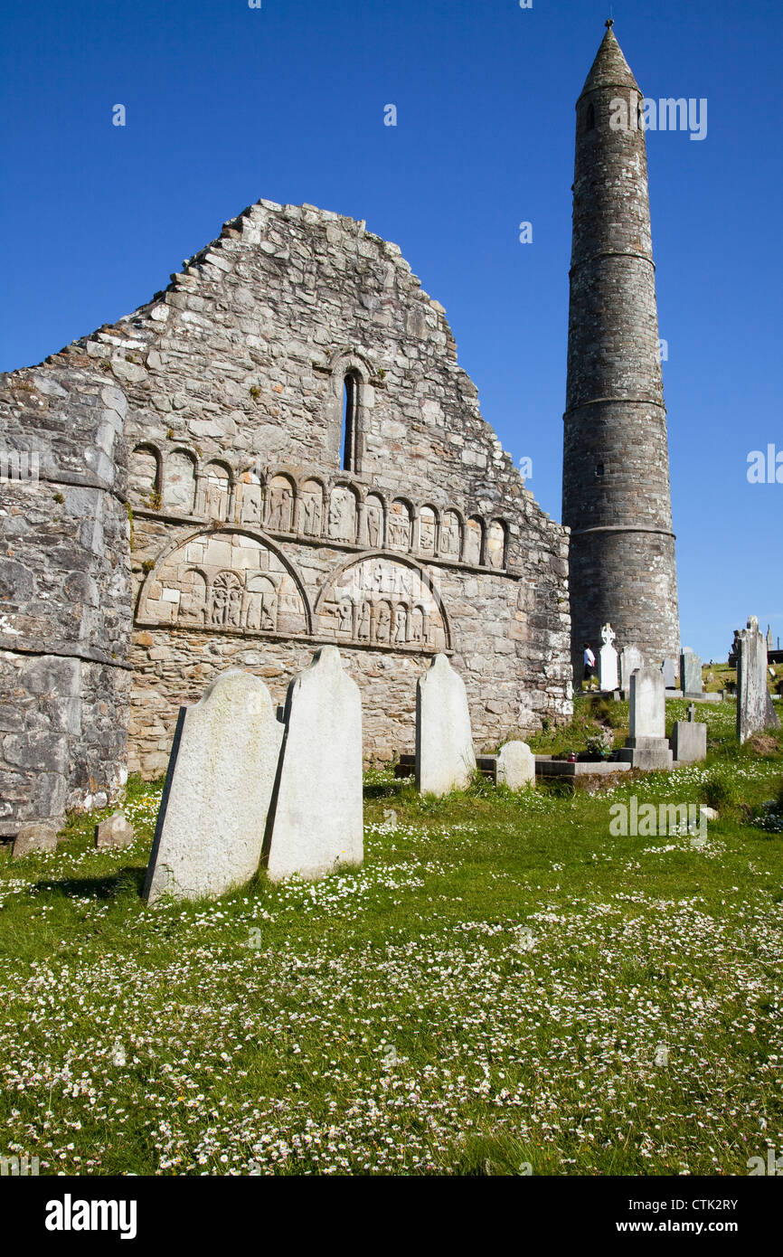 Carbally CemeteryCemetery · 1.8 mi
Explorer Tom Carbally Cemetery is just chilling, ready to survive any zombie attack by standing perfectly still and looking…
 Ballydavid HouseHouse · 2.0 mi
Explorer Tom Ballydavid House is stuck on a Palladian plan and insists it’s the most important building in County Waterford, which…
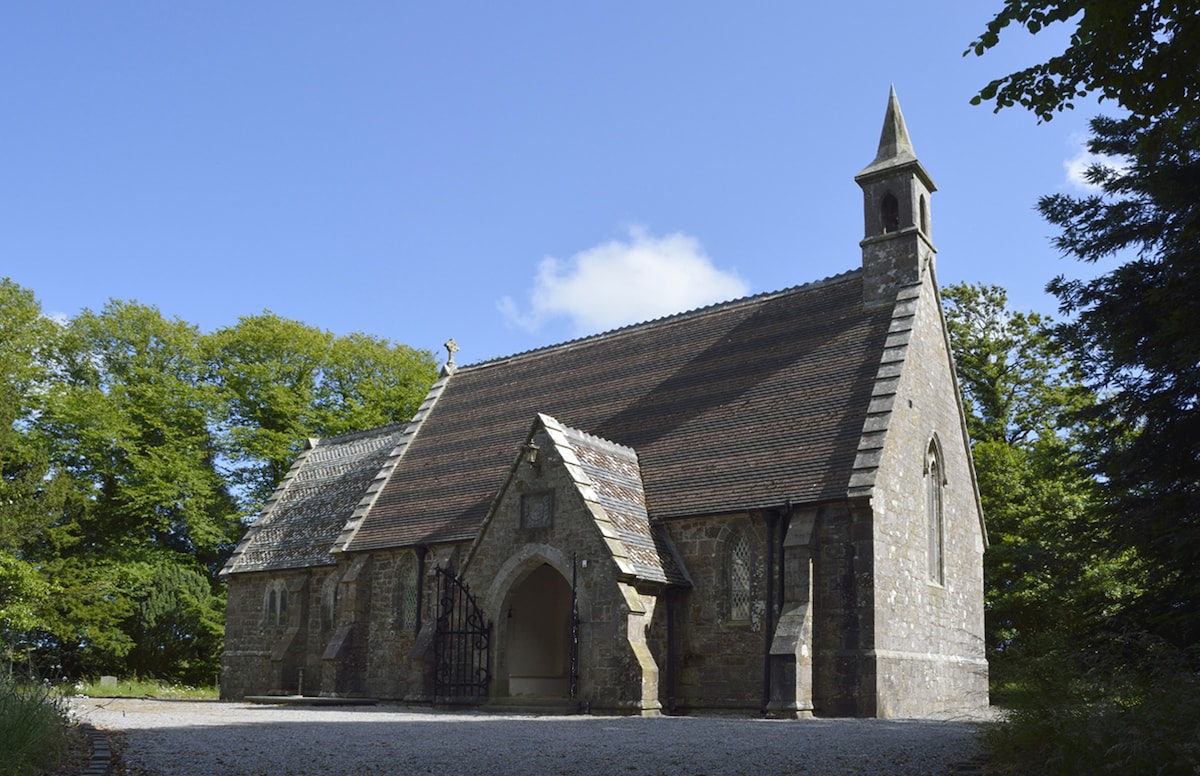 Church in Ballymacaw,graigue (gaultiere By.)Church · 2.0 mi
Explorer Tom Church in Ballymacaw suspects the postman is stealing its letters and hiding them in the hedge. It’s an old decayed…
 Killea National SchoolOfficially recorded historic building · 2.1 mi
Explorer Tom Killea National School is sitting pretty on Knockacurrin, looking like it hasn't had a proper lesson since the school…
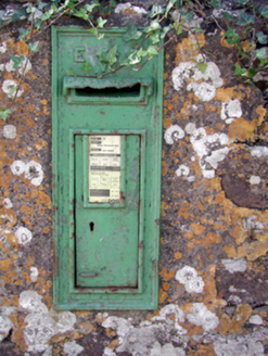 Historic buildingOfficially recorded historic building · 2.1 mi
Explorer Tom Historic building in Knockacurrin is locked in an endless feud with the rain, which seems to think it owes a personal…
 Gaultier GAA ClubGAA ground · 2.2 mi
 Tramore StrandBeach / strand · 4.2 mi
Explorer Tom Tramore Strand was designed by my mother-in-law, who insisted on making every single dune pointy just to annoy her…
More archaeology and monuments in County Waterford · All of County Waterford

What do you know about this place?Tap to add a comment or ask a question