What is recorded here
In pasture, on W-facing slope, just below brow of hill. Monument, depicted on 1841 OS 6-inch map as embanked circular enclosure (diam. c. 30m), has been levelled. Field boundary which skirted enclosure SE->SW has been removed and area to N of it covered by concrete yard surrounded by farm buildings.
From the National Monuments Service (Archaeological Survey of Ireland) record LI028-159
This remains an important historical record, but the official description says the monument is no longer visible or has been destroyed. The monument record does not grant public access. Check the route and ask the landowner before entering private land.
- What survives
- No visible remains or recorded as destroyed
Places near here
Photo credits
- National Inventory of Architectural Heritage
- Mike Searle, Geograph · CC BY-SA 2.0
- Created by Kglavin Modified Aug 2007 by Mike Christie, Wikimedia Commons · CC BY-SA 3.0
- Willow, Wikimedia Commons · CC BY 2.5
- Vadim Manuylov, Wikimedia Commons · CC BY-SA 3.0
- A.-K. D., Wikimedia Commons · CC BY-SA 4.0
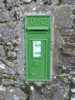 post box468 ydEcclesiastical enclosure in ClonaghEcclesiastical enclosure · 1358 ydSt. Kieran's WellSpring · 1383 yd
 bridge1532 yd
 Rathgoonan HouseCountry house · 1.2 mi
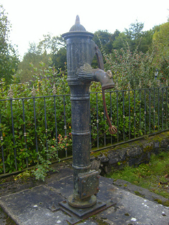 water pump1.2 mi
 Castle MatrixCastle · 2.6 mi
 Castle MatrixCastle, tower house · 2.6 mi
 Ardagh FortArchaeological place · 2.9 mi
 European ash3.5 mi
 Monterey Cypress8.1 mi
 Saint Ite's WellSpring · 9.9 mi
More archaeology and monuments in County Limerick · All of County Limerick
What do you know about this place?