
What is recorded here
Located on a slight S and W-facing slope and inside the W edge of the bawn (WX039-024001-). This is a house of two storeys (int. dims: c. 22m N-S; 5.57m E-W) but only the S gable with a firplace projecting on the outer face of the wall and part of the W wall, also with a gable and projecting fireplace, survive. No other features are present, but the house is probably 17th century in date. The parish church of Ballybrazil (WX039-023001-) is c. 200m to the NNE.
See the attached section of the Down Survey (1656-8) barony map (N at right) reproduced courtesy of the National Library of Ireland (Ms 725)
Compiled by: Michael Moore
Date of upload: 24 January, 2013
The monument record does not grant public access. Check the route and ask the landowner before entering private land.
- What survives
- Recorded monument
Places near here
 Castle (in ruins)Bawn · 12 yd
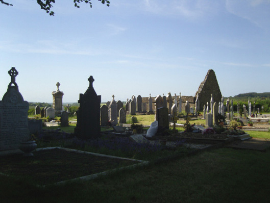 graveyard/cemeterygraveyard/cemetery · 206 yd
 Church (in ruins)Church · 223 yd
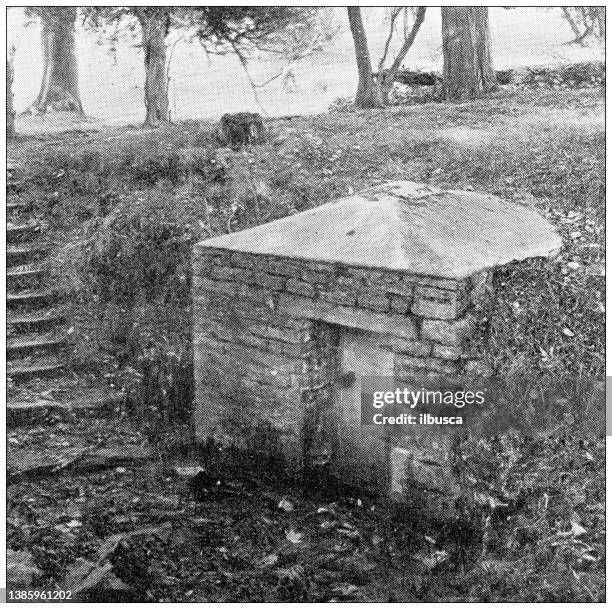 St. Bridgets WellHoly well · 672 yd
 Arboretum MapVisitor information · 889 yd
 Silver WattleSilver Wattle · 934 yd
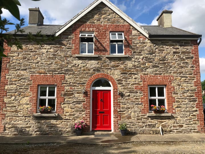 Ecclesiastical enclosure in BallybrazilEcclesiastical enclosure · 1177 yd
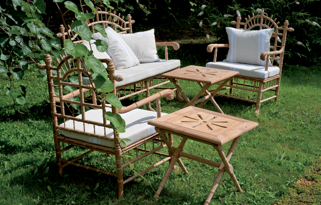 Bamboo CollectionVisitor information · 1271 yd
 The John F. Kennedy ArboretumForest · 1577 yd
 John F. Kennedy Arboretum MuseumMuseum · 1.1 mi
 CastleCastle, tower house · 1.2 mi
 Campile WWII Bombing MemorialMemorial · 1.3 mi
Other information
Photo: Credit not shown in the picture search · Rights wording not checked; contact us if this picture should be removed