What is recorded here
Located on a slight rise in a fairly level landscape. The cropmark of a circular enclosure (diam. c. 25m) defined by a single fosse feature is visible on aerial photographs (MM (56) 15-17).
Compiled by: Michael Moore
Date of upload: 24 January, 2013
Amended: 7 May, 2014
The monument record does not grant public access. Check the route and ask the landowner before entering private land.
- What survives
- Recorded monument
Places near here
 Castle (in ruins)Bawn · 660 yd
 IndicatedHouse, 17th century · 668 yd
 Church (in ruins)Church · 681 yd
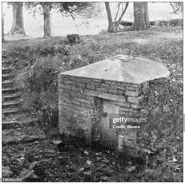 St. Bridgets WellHoly well · 1054 yd
 Arboretum MapVisitor information · 1064 yd
 Mass Stone (Site of)Mass-rock · 1177 yd
 Silver WattleSilver Wattle · 1254 yd
 Barberry CollectionVisitor information · 1474 yd
 The John F. Kennedy ArboretumForest · 1715 yd
 John F. Kennedy Arboretum MuseumMuseum · 1.2 mi
 Campile WWII Bombing MemorialMemorial · 1.3 mi
 Tinnock RockNamed rock · 1.4 mi