
What is recorded here
Located at the crest of a slight W and S-facing slope. The parish church of Ballybrazil is within a triangular graveyard (dims c. 80m E-W; c. 50m N-S) with the apex at W. The graveyard perimeter is defined by a stone-faced earthen banks and hedges. According to a Visitation by Thomas Ram, the Protestant bishop of Ferns, in 1615 Thomas ffleming was the curate, but the church and chancel needed repair (Hore 1900-11, vol. 6, 269). The E gable and the adjacent N and S walls survive to the roof level (ext. dims. 8.2m E-W; 6.13m N-S; H 2.5m) of what might only be the chancel. Its full length is defined by a scarp at W (total L c. 19m). There is a small window at the E end of the N and S walls and both these walls have cracked along the line of the windows so that the E gable is now leaning out to the E. There is a small E window (Wth 0.21m; H 0.76m) with alcoves on either side on the inner face of the wall, each with a slate base that has a semicircular niche cut through the slate on the outer edge, which may have been to facilitate the placing of statutes. The tops of the N and S walls are surmounted by an oversailing parapet with drain holes. A granite bullaun stone (dims 0.53m x 0.4m; H 0.3m) with a single basin (dims 0.26m x 0.24m; D 0.13m) is on a drystone wall at the W end of the chancel. St. Bridget’s well (WX039-012----) is c. 430m to the N, and the bawn of Ballykeerogemore (WX039-024001 ) is c. 200m to the SSW. Archaeological monitoring (15E0412) in Area 4 of a gas pipe under the E-W road immediately to the S produced no related material. (Sutton 2018; excavations.ie 2015:422)
The above description is derived from the published 'Archaeological Inventory of County Wexford' (Dublin: Stationery Office, 1996). In certain instances the entries have been revised and updated in the light of recent research.
Compiled by: Michael Moore
Date of upload/revision: 24 January, 2013
Amended: 2 September 2013; 19 October 2020
The monument record does not grant public access. Check the route and ask the landowner before entering private land.
- What survives
- Recorded monument
Places near here
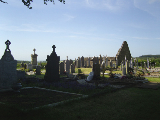 graveyard/cemeterygraveyard/cemetery · 20 yd
 Castle (in ruins)Bawn · 213 yd
 IndicatedHouse, 17th century · 223 yd
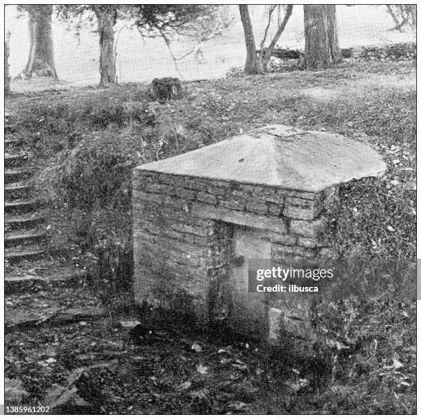 St. Bridgets WellHoly well · 469 yd
 Arboretum MapVisitor information · 666 yd
 Silver WattleSilver Wattle · 725 yd
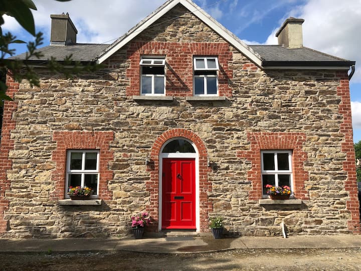 Ecclesiastical enclosure in BallybrazilEcclesiastical enclosure · 1032 yd
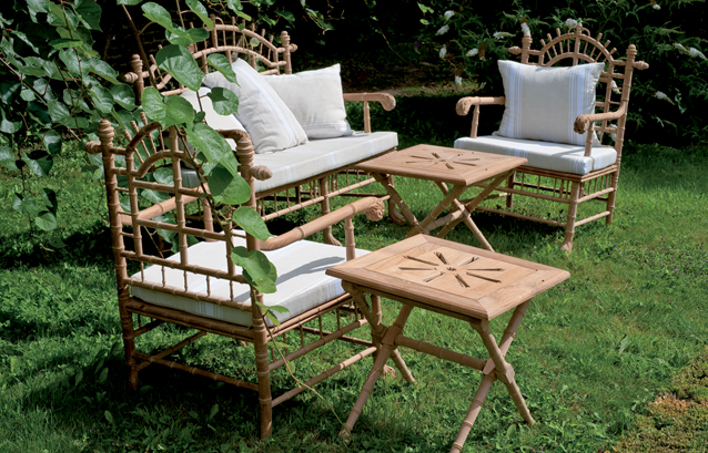 Bamboo CollectionVisitor information · 1056 yd
 The John F. Kennedy ArboretumForest · 1356 yd
 John F. Kennedy Arboretum MuseumMuseum · 1757 yd
 CastleCastle, tower house · 1.2 mi
 Campile WWII Bombing MemorialMemorial · 1.4 mi
Other information
Photo: A.-K. D. · CC BY-SA 4.0