What is recorded here
Indicated is a fairy fort in County Mayo, Ireland, where an earthen bank still rises above low pasture despite farm stock eroding its top. The oval measure is thirty-three point six metres long and twenty-eight point six metres wide, with hawthorn thick around the edge and another rath ten metres south. A road clips the southwest, and the shallow dip outside may mark a forgotten fosse. People may have lived inside, feared the fairies, or simply kept their distance from the ringed ground.
In level, lowlying rough-average pasture, with gently undulating ground to S, gently rising ground to NW and a broad sweep of flat, wettish ground stretching to N−SE. A road clips the SW edge of the rath.
Slightly raised oval area (33.6m NNE−SSW; 28.6m ESE−WNW) defined by an earthen bank (Wth 3m; int. H 0.3m, ext. H 1.2m, at W & E). Outside the bank, there is a very shallow dip (Wth 2m) in ground level, possibly an infilled fosse.
The bank has a well defined external slope and a low internal lip. Remnants of a stone kerb, partly sod-covered, can be glimpsed in parts on the inner edge of the bank, especially on the W arc. Loose, mainly small, stones can be seen along the top of the bank where it is eroded by farm stock. At S−W the bank is incorporated into a field wall bordering a road. There are several breaks/eroded areas in the bank, especially along the NE arc, but the original entrance is not obvious. The rath is thickly ringed with hawthorn. There is another rath (MA119-051----) 10m to S.
Compiled by: Jane O’Shaughnessy
Date of upload: 23 August 2023
The monument record does not grant public access. Check the route and ask the landowner before entering private land.
- What survives
- Recorded monument
Places near here
 Site of FortFairy fort / earthen ringfort · 494 yd
 RathbaunArchaeological place · 1184 yd
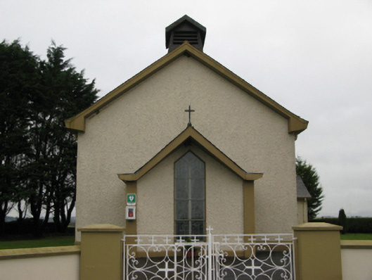 Saint Joseph's Catholic Churchchurch/chapel · 1.2 mi
 Castle (in ruins)Castle, unclassified · 1.6 mi
 Bawn in BlindwellBawn · 1.7 mi
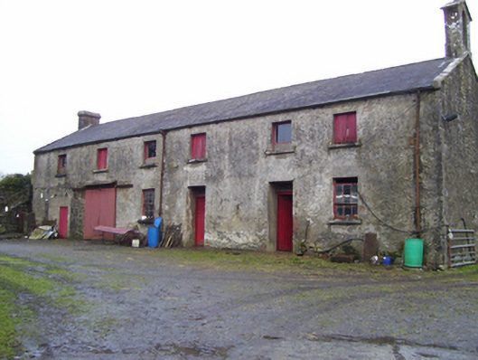 Blindwell Housefarmyard complex · 1.7 mi
 European YewEuropean Yew · 3.4 mi
 Pesooge PlantationForest · 5.8 mi
 Mass RockNamed rock · 6.0 mi
 Ross Errilly FriaryHeritage attraction · 10 mi
 Inis Mhic an TrírIsland · 13 mi
 Otter IslandIslet · 13 mi