
What is recorded here
From the National Monuments Service (Archaeological Survey of Ireland) record GA114-008
Places near here
Photo credits
- Maker not stated on source page, account.travel
- National Inventory of Architectural Heritage
- Kmcnamee, Wikimedia Commons · CC BY-SA 4.0
- Maker not stated on source page, commons.wikimedia.org
- Maker not stated on source page, tr.pinterest.com
- Maker not stated on source page, www.tripadvisor.ie
- Maker not stated on source page, www.dreamstime.com
- Mac McCarron, Geograph · Creative Commons Attribution-ShareAlike 2.0
- Maker not stated on source page, www.locationscout.net
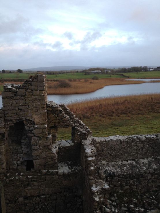 Castle (in ruins)Castle, tower house · 1181 yd
Explorer Tom Castle in Cloghaun is near the Slieve Aughty Mountains and was owned by Mac Hubert way back. It’s one of those…
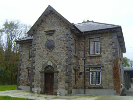 RoxboroughSteward's house · 1356 yd
Explorer Tom Roxborough was once ruled by a goat who decided the garden was its personal kingdom after Lady Gregory left. The walls…
 Páirc Thomáis Naofa, Castleboy, St. Thomas GAAGAA ground · 1.3 mi
 Site of ChurchChurch · 1.3 mi
Explorer Tom Site of Church at Cregganore is invisible, sitting right next to a holy well and a kids' graveyard. A bird lives there…
 Holy well in CregganoreHoly well · 1.3 mi
Explorer Tom Holy well in Cregganore is a horseshoe-shaped spring that ended up in the wrong place because someone forgot to check…
 Kirra CottageHouse · 1.6 mi
Explorer Tom Kirra Cottage in Ballycuddy is feuding with the next village over who stole their best thatching reeds. The scolloped…
 Fairy fort / stone ringfort in CaherskeehaunFairy fort / stone ringfort · 1.7 mi
Explorer Tom Fairy fort / stone ringfort in Caherskeehaun has two big upright boulders flanking the entrance, looking like bouncers…
 Standing stone in BallycuddyStanding stone · 1.8 mi
Explorer Tom Ballycuddy has a possible standing stone that looks more like a giant rock that lost a fight with gravity. It’s sitting…
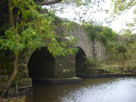 bridge1.9 mi
Explorer Tom Bridge in Ballybackagh (loughrea by) would buy a jet ski with any lotto winnings it ever managed to collect from…
 Saint Teresa's Catholic ChurchMausoleum · 1.9 mi
Explorer Tom Saint Teresa's Catholic Church in Castledaly is showing off its craftsmanship like it’s applying for a job at the…
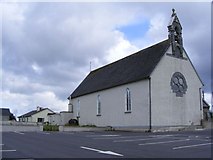 Catholic Church of the NativityChurch/chapel · 2.0 mi
Explorer Tom Catholic Church of the Nativity in Ballingarry had a matchmaker working there who paired off half the village by 1900.…
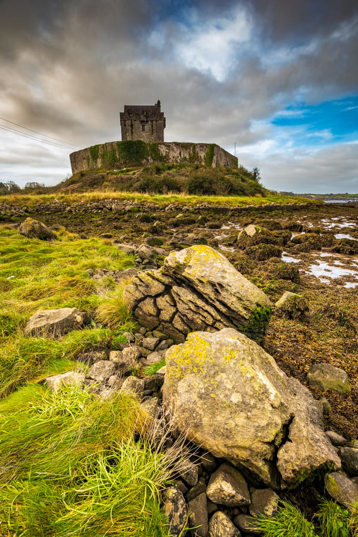 CastleCastle, tower house · 2.2 mi
Explorer Tom Castle in Castledaly sits at the foot of Slieve Aughty, looking like it just woke up from a long nap. It was once…
More archaeology and monuments in County Galway · All of County Galway

What do you know about this place?Tap to add a comment or ask a question