
What is recorded here
Marked on the 1915 ed. of the OS 6-inch map as a subcircular field (diam. c. 60m), and visible on aerial photograph (CUCAP: K17 W 14). Situated on an undulating landscape. The wall of this field is collapsed drystone-built, the same as other walls in the area and there is nothing to suggest that this is any older or more interesting than any of the others. The area is overgrown.
Compiled by: Michael Moore
Date of upload: 24 August 2010
The monument record does not grant public access. Check the route and ask the landowner before entering private land.
- What survives
- Recorded monument
Places near here
 Enclosure in Milltown (athlone South By.)Enclosure · 878 yd
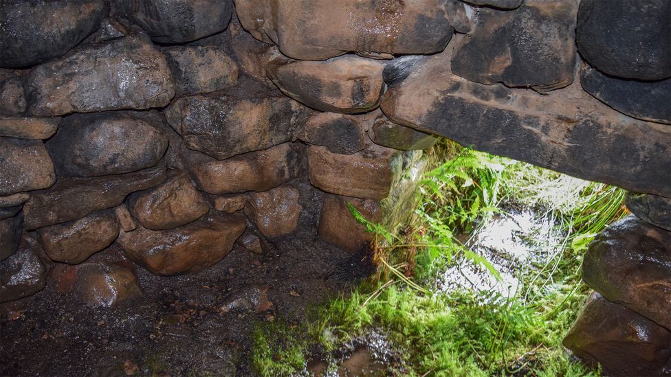 Sweathouse in ArdcolmanSweathouse · 1147 yd
 CastleCastle, unclassified · 1.5 mi
 RoadRoad, road/trackway · 1.5 mi
 Church in KilleglanChurch · 1.9 mi
 Killeglan CastleCastle, unclassified · 2.0 mi
 Inch IslandIsland · 2.6 mi
 Sheep HillMountain / peak · 2.7 mi
 InchnagowerIslet · 4.0 mi
 LismoneyForest · 4.3 mi
 European ashEuropean ash · 6.6 mi
 Urraghry HillMountain / peak · 9.8 mi
Other information
Photo: Credit not shown in the picture search · Rights wording not checked; contact us if this picture should be removed