
What is recorded here
On a W-facing slope in pasture. A raised oval area (c. 42m E-W; c. 28m N-S) defined by a much-degraded scarp (H 0.8-1.8m) with fragmentary remains of modern drystone-facing. There is no trace of a fosse. From NE-S-W the scarp has been modified and incorporated into a field boundary. The original entrance is not recognisable. There is a possible house site (LF023-021002-) in the centre of the interior.
Compiled by: Patrick F. O'Donovan
Date of upload: 15 June 2012
This remains an important historical record, but the official description says the monument is no longer visible or has been destroyed. The monument record does not grant public access. Check the route and ask the landowner before entering private land.
- What survives
- No visible remains or recorded as destroyed
Places near here
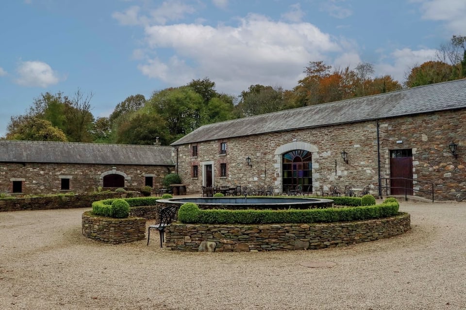 Enclosure in BallybegEnclosure · 759 yd
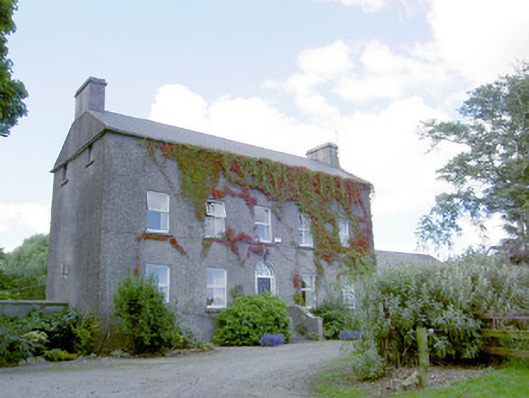 Richmount Hillhouse · 903 yd
 CastleCastle, motte · 985 yd
 Church (in Ruins)Church · 1600 yd
 DoonphilipCastle, motte · 1.2 mi
 Indicated FortFairy fort / earthen ringfort · 1.3 mi
 National Famine WayWalking route · 3.2 mi
 Goldsmith Birthplace, PallasVisitor information · 3.8 mi
 Newcastle WoodsForest · 3.9 mi
 Target WoodWood · 4.2 mi
 Craft WorkshopHeritage attraction · 4.6 mi
 Guest ServicesVisitor information · 4.6 mi
Other information
Photo: Credit not shown in the picture search · Rights wording not checked; contact us if this picture should be removed