What is recorded here
In pasture, on SW-facing slope; on E side of avenue to Ballyegny House. Circular area (diam. c. 45m) enclosed by earthen bank (int. H 0.5m; ext. H 1.05m), with external fosse (Wth 2.5m) SW->E and counterscarp bank (int. H 0.35m; ext. H 0.4m) SW->N. Interior is covered by dense overgrowth of briars and thorn. Field boundary, depicted on 1923 OS 6-inch map abutting bank at ESE, has been removed.
From the National Monuments Service (Archaeological Survey of Ireland) record LI028-035
This remains an important historical record, but the official description says the monument is no longer visible or has been destroyed. The monument record does not grant public access. Check the route and ask the landowner before entering private land.
- What survives
- No visible remains or recorded as destroyed
Places near here
Photo credits
- National Inventory of Architectural Heritage
- Created by Kglavin Modified Aug 2007 by Mike Christie, Wikimedia Commons · CC BY-SA 3.0
- dougf, Geograph · CC BY-SA 2.0
- Willow, Wikimedia Commons · CC BY 2.5
- Wikimedia Commons contributor · Public domain
- Vadim Manuylov, Wikimedia Commons · CC BY-SA 3.0
 Ballyegny HouseHouse · 168 ydIndicatedFairy fort / earthen ringfort · 432 yd
 Rathgoonan HouseCountry house · 1020 yd
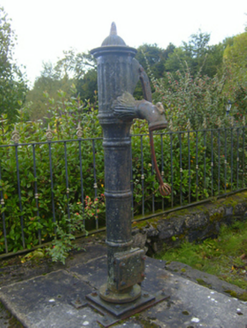 water pump1289 yd
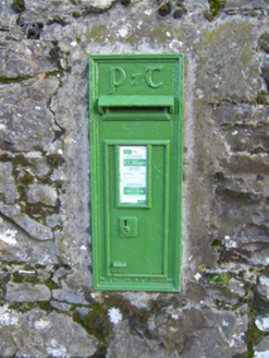 post box1.2 miSt. Luke's WellSpring · 1.3 mi
 Ardagh FortArchaeological place · 2.6 mi
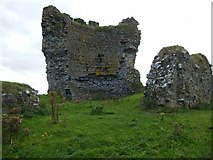 Shanid CastleCastle · 3.4 mi
 Shanid Castle (in ruins)Castle, Anglo-Norman masonry castle · 3.4 mi
 European ash4.7 mi
 Askeaton CastleHeritage attraction · 5.8 mi
 Monterey Cypress7.0 mi
More archaeology and monuments in County Limerick · All of County Limerick
What do you know about this place?