What is recorded here
Indicated is a fairy fort in County Cork, Ireland. It is a rough circular earthworks on a south-facing slope above the Owenboy river valley. The bank stands one and a half metres high on the west and east, while a steep scarp closes the rest of the circle. A shallow ditch marks the north edge, and the inside rises on the south to level the ground. Coniferous trees now grow within the ring. The shape suggests human hands, but the name and silence suggest something else. Perhaps people built it to keep out what lives below the soil.
In pasture, on edge of break in S-facing slope, overlooking Owenboy river valley. Roughly circular area (40.6m E-W; 36.9m N-S) defined by earthen bank (H 1.35m) SW->ESE; scarp (H 1.3m) elsewhere; shallow external fosse on N side. Interior raised on S side to compensate for hillslope; planted with coniferous trees.
The above description is derived from the published 'Archaeological Inventory of County Cork. Volume 2: East and South Cork' (Dublin: Stationery Office, 1994). In certain instances the entries have been revised and updated in the light of recent research.
Date of upload/revision: 14 January 2009
The monument record does not grant public access. Check the route and ask the landowner before entering private land.
- What survives
- Recorded monument
Places near here
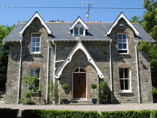 rectory/glebe/vicarage/curate's houserectory/glebe/vicarage/curate's house · 346 yd
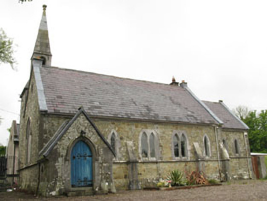 church/chapelchurch/chapel · 407 yd
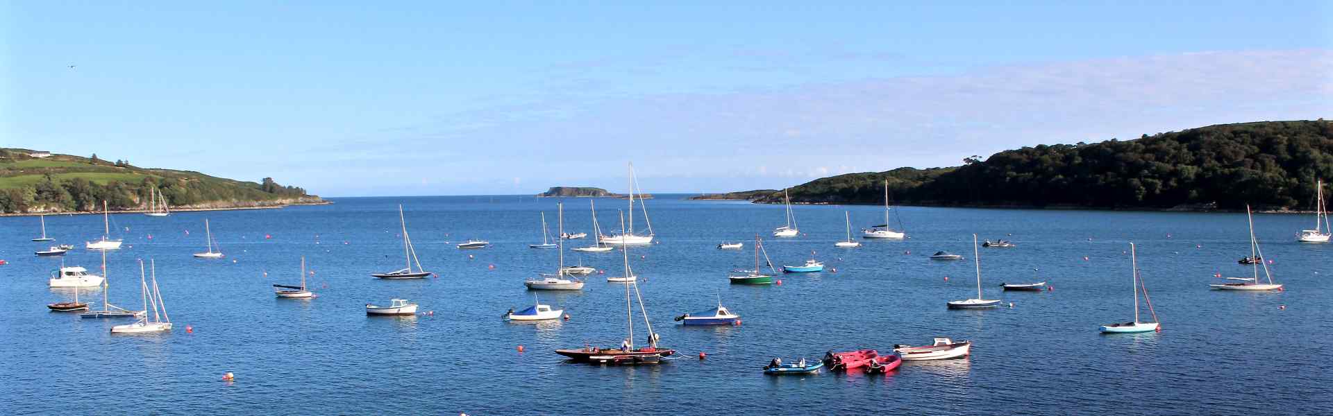 Enclosure in BallygarvanEnclosure · 725 yd
 Furnace in KillanullyFurnace · 781 yd
 Meadstown Castle (Site of)Castle, unclassified · 1.2 mi
 Ballea CastleCastle, tower house · 1.5 mi
 Manx2 Flight 7100aviation accident · 1.8 mi
 Pauper's GraveyardArchaeological place · 2.6 mi
 Graveyard in CurraghconwayGraveyard · 2.8 mi
 Be Framed Fine Art GalleryGallery · 3.5 mi
 Vernon Mount ViewViewpoint · 3.5 mi
 City View SummitViewpoint · 3.6 mi