What is recorded here
Indicated is a stone-faced ringfort in County Cork, its earthen bank rising nearly two metres around a circular pasture. The interior tilts slightly against the hillslope, suggesting people lived there long enough to shape the land rather than simply occupy it. A gap remains on the east side, waiting for carts, cattle, or visitors who never returned to be remembered.
In pasture, atop slight rise, land falls down gently to S. Roughly circular area (38.6m E-W; 35.5m N-S) enclosed by earthen bank (H 1.95m), stone-faced externally E->SSW. Gap in bank to E; modern gaps to NE and NW. Interior appears to be raised slightly on S side to compensate for hillslope; ploughed in the past.
The above description is derived from the published 'Archaeological Inventory of County Cork. Volume 3: Mid Cork' (Dublin: Stationery Office, 1997). In certain instances the entries have been revised and updated in the light of recent research.
Date of upload/revision: 14 January 2009
The monument record does not grant public access. Check the route and ask the landowner before entering private land.
- What survives
- Recorded monument
Places near here
 Ballydaly Church (in Ruins)Church · 631 yd
 Childrens Burial GroundBurial ground · 638 yd
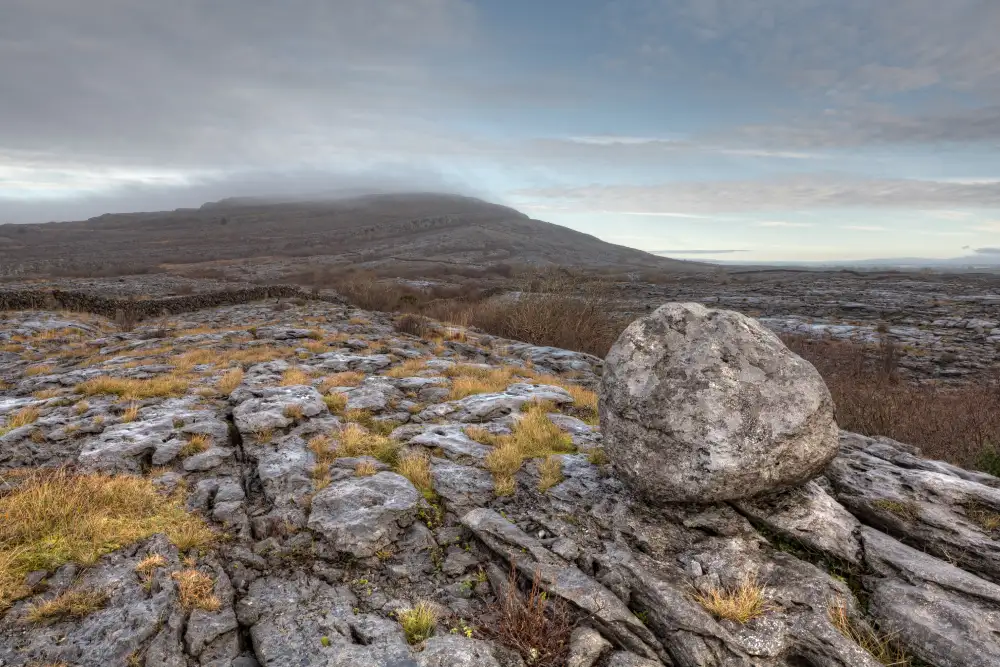 Boulder-burial in Derreen (muskerry West By., Drishane Par.)Boulder-burial · 808 yd
 IndicatedKiln, lime · 967 yd
 Claragh MountainMountain / peak · 1.2 mi
 CurracahillMountain / peak · 1.6 mi
 Wildlife of the UplandsVisitor information · 1.8 mi
 Birds of DuhallowVisitor information · 1.9 mi
 Millstreet Museum & Tourist Information CentreMuseum · 2.3 mi
 RowanRowan · 2.3 mi
 Kilmeedy CastleCastle, tower house · 2.4 mi
 Dromsicane Castle (in Ruins)Bawn · 3.1 mi