What is recorded here
Situated on a NW-SE ridge with NW-SE streams c. 350m to the E and c. 400m to the W. Marked as circular enclosure (diam. c. 35-40m) just N of Ballycrystal House on the 1839 ed. of the OS 6-inch map. Nothing is visible at ground level. Archaeological testing (07E0050) conducted within 50m S-W failed to produce any related material (McLoughlin 2010)
The abpve description is derived from the published 'Archaeological Inventory of County Wexford' (Dublin: Stationery Office, 1996). In certain instances the entries have been revised and updated in the light of recent research.
Compiled by: Michael Moore
Date of upload/revision: 26 April, 2012
The monument record does not grant public access. Check the route and ask the landowner before entering private land.
- What survives
- Recorded monument
Places near here
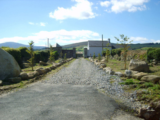 Ballycrystal Housegates/railings/walls · 43 yd
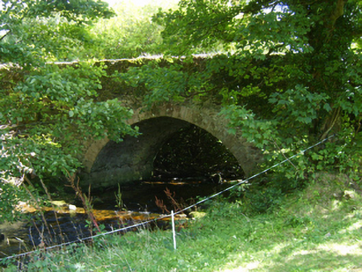 Ballycrystal Bridgebridge · 638 yd
 IndicatedEnclosure · 913 yd
 Embanked enclosureFairy fort / earthen ringfort · 1463 yd
 Clorogue BegMountain / peak · 1.4 mi
 Black Rock MountainMountain / peak · 2.2 mi
 Mount LeinsterMountain · 3.1 mi
 Irish Hangliding and Paragliding AssociationMemorial · 3.3 mi
 Pedunculate OakPedunculate Oak · 3.5 mi
 St Bridget's WellSpring · 3.8 mi
 Site of Clonmullen CastleCastle, unclassified · 4.3 mi
 Coonogue WoodForest · 4.4 mi