What is recorded here
On a gentle WSW-facing slope in undulating hilly terrain between the Galty mountains to S and Slievenamuck mountain to N, in pasture. The monument is depicted on the 2nd (1906) ed. OS 6-inch map as a large, roughly ovoid earthwork (diam. c. 80m) with a fosse from NW-E-S. The monument was known locally as a 'fort' but was levelled c. 1990. Only a portion of the W-NW quadrant is visible as a very broad, flattened scarp (Wth 5m; H 0.57m).
Compiled by: Jean Farrelly
Date of upload: 26 August 2011
The monument record does not grant public access. Check the route and ask the landowner before entering private land.
- What survives
- Recorded monument
Places near here
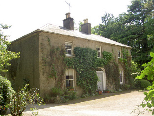 Ballycrehane Househouse · 497 yd
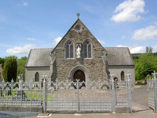 Catholic Church of the Sacred Heartchurch/chapel · 553 yd
 KyleEnclosure · 1022 yd
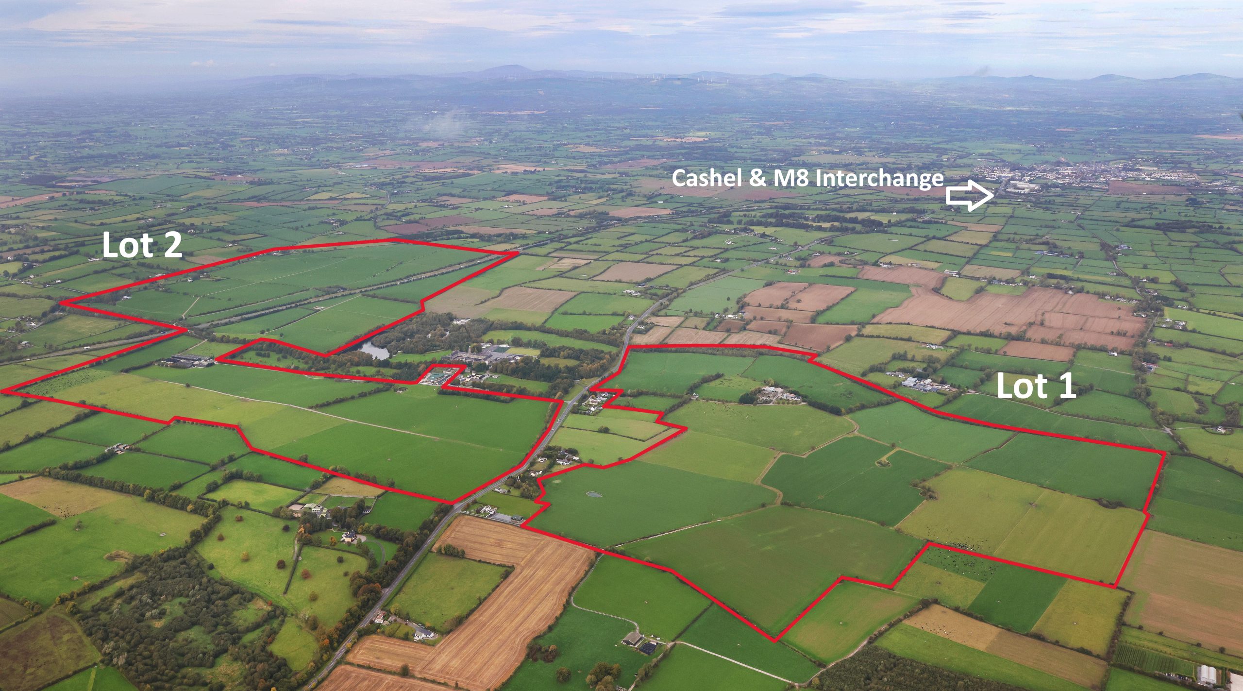 Enclosure in MoneynaboolaEnclosure · 1413 yd
 Ballynacourty HouseCastle, unclassified · 1425 yd
 Site of Dungrot CastleCastle, unclassified · 1593 yd
 Knockanebrack HillMountain / peak · 1.3 mi
 CurraghMountain / peak · 1.3 mi
 Giant's Rock - Rock of AglaishNamed rock · 1.5 mi
 Bansha ForestForest · 1.6 mi
 Noel's NippleNamed rock · 2.1 mi
 Lough CurraWalking route · 2.1 mi