What is recorded here
On a gentle S-facing slope in gently undulating terrain under pasture. A moated site (dims. 59m NE-SW; 54.9m NW-SE) with round-topped bank (Wth 2.7-4.3m; int. H 0.3-0.73m; ext. H 1.74-2.06m), fosse (Wth 2.1-2.4m; D 1.1-2.86m) and ext. bank (Wth 4.5-5.9m; ext. H 0.6m). There is a causewayed entrance (Wth 4.7m) at the NE end of the NW side. The outer bank is reduced in height at the N angle. There are two cattle gaps on the NW side and one on the SE side. The SE side the outer bank is reduced to scarp.
Compiled by: Jean Farrelly
Date of upload: 26 August 2011
The monument record does not grant public access. Check the route and ask the landowner before entering private land.
- What survives
- Recorded monument
Places near here
 BarrowBarrow, ditch barrow · 984 yd
 Enclosure in AnnaghEnclosure · 1.1 mi
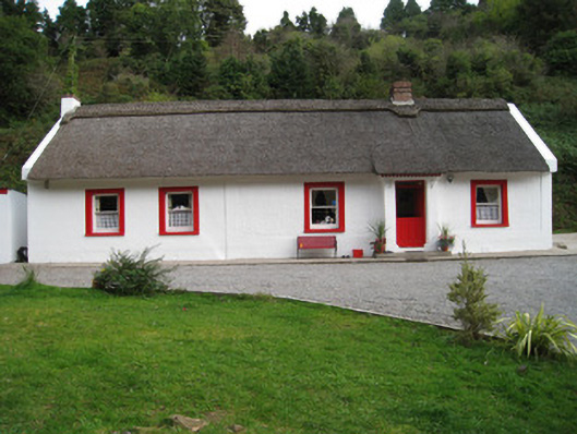 Annagh Cottagehouse · 1.2 mi
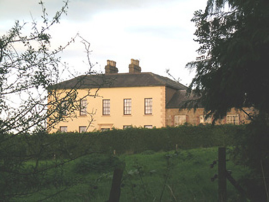 Ballywire Househouse · 1.3 mi
 Duntryleague HillMountain / peak · 2.0 mi
 Darby's Bed Walk LoopWalking route · 2.0 mi
 SlievenamuckMountain / peak · 2.1 mi
 MoatCastle, motte · 2.7 mi
 Site of Dungrot CastleCastle, unclassified · 2.8 mi
 Carn (site of)Cairn, burial cairn · 2.8 mi
 Bansha ForestForest · 3.4 mi
 Giant's Rock - Rock of AglaishNamed rock · 3.9 mi