What is recorded here
Situated on a plateau overlooking a SW-NE ravine. The tower house (WA002-010001-) is on the S boundary of a grass-covered trapezoidal, grass-covered enclosure (dims. 53m NW-SE; 40m NE-SW at N; 66m NE-SW at S) defined by a slight scarp (max. H 0.5m) and traces of a fosse (Wth 4m).
Compiled by: Michael Moore
Date of upload: 27 August 2010
A local castle; wider significance not recorded.
The monument record does not grant public access. Check the route and ask the landowner before entering private land.
- What survives
- Recorded monument
Places near here
 Ballyclohy Castle (in ruins)Castle, tower house · 24 yd
 Enclosure in ScartleaEnclosure · 1056 yd
 Glencomeragh Househouse · 1094 yd
 Man-made underground passage in ScartleaMan-made underground passage · 1404 yd
 CarrigcoumMountain / peak · 1574 yd
 Glen Poer WoodForest · 1.0 mi
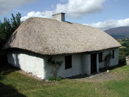 farm housefarm house · 1.0 mi
 Churchtown WoodForest · 1.2 mi
 Maurice DavinMemorial · 1.2 mi
 Glen Castle (in ruins)Castle, tower house · 1.3 mi
 CarrigeenseebohillaMountain / peak · 2.5 mi
 Thomas KielyMemorial · 3.4 mi