What is recorded here
Situated on a level low-lying landscape with the NNE-SSW Ballycarron River, a tributary of the SE-NW Blackwater River, c. 230m to the E. The outline of these features is depicted on the 1836 edition of the OS 6-inch map, and oblique aerial photographs (CUCAP: APE 11; AVO 75) show a rectangular enclosure (dims. c. 30m NNE-SSW, c. 25m WNW-ESE) defined by earthen banks with outer fosses or moats separated from a second rectangular enclosure (dims c. 35m NNE-SSW; c. 30m WNW-ESE) just to the W by a NNE-SSW roadway (Wth c. 5m). These enclosures are at the N end of two larger associated rectangular fields (dims c. 95-100m NNE-SSW; c. 70m WNW-ESE), one of which had a large quarry (diam. c. 20m). The earthworks had not survived by 1985 (SMR file), but they are visible as cropmarks on Google Earth (28/06/2018).
The above description is derived from the published 'Archaeological Inventory of County Meath' (Dublin: Stationery Office, 1987). In certain instances the entries have been revised and updated in the light of recent research.
Compiled by: Michael Moore
Date of revision: 14 August 2019
The monument record does not grant public access. Check the route and ask the landowner before entering private land.
- What survives
- Recorded monument
Places near here
 EnclosureEnclosure, large enclosure · 257 yd
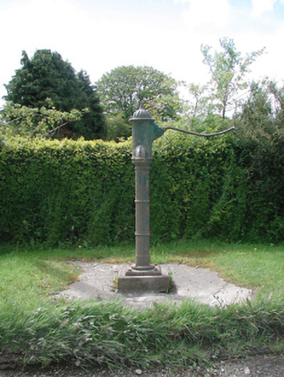 water pumpwater pump · 1278 yd
 Grave YardGraveyard · 1303 yd
 Cloncurry MoatCastle, motte · 1312 yd
 European ashEuropean ash · 1313 yd
 Cloncurry GraveyardHeritage attraction · 1320 yd
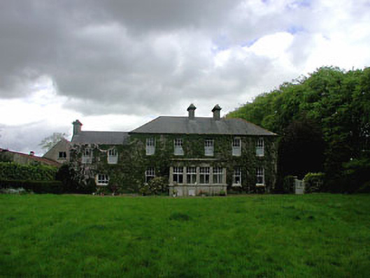 Ballyvoneen Househouse · 1350 yd
 Site of Dunfierth CastleCastle, unclassified · 1.7 mi
 Old Bog Road made famous by Teresa Bryton 1868-1943Memorial · 2.0 mi
 The Grill ShackHeritage attraction · 3.8 mi
 Wych ElmWych Elm · 4.5 mi
 9/11 MemorialMemorial · 5.1 mi